The ’17 trip started in Venice for a few days and was then centred on Rovereto and Cortina d’Ampezzo.
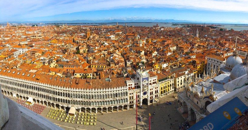
A little about Venice which is situated across a group of 118 small islands that are separated by canals and linked by bridges, of which there are 400.] The islands are located in the shallow Venetian Lagoon, an enclosed bay that lies between the mouths of the Po and the Piave rivers.
The name is derived from the ancient Veneti people who inhabited the region by the 10th century BCE. Venice has been known as the “La Dominante,” “Serenissima,” “City of Water,” “City of Masks,” “City of Bridges,” “The Floating City,” and “City of Canals.” Anyhow……………
Our time here was lots of eating courtesy of Brento’s research, drinking courtesy of Brento’s penchant and wandering about.


Off to Rovereto
Rovereto was an ancient fortress town standing at the frontier between the Trento – an independent state until 1797 – and the republic of Venice, and later between Austrian Tyrol and Italy. Rovereto is east of Riva del Garda (at the north-western corner of Lake Garda).
Bit of a bike problem for me on arrival with the electronic gears so I sat out the first ride, which apparently was pretty tough and of course involved Brent taking a wrong turn and then having to do extra climbing. This usually happens! Boys heading off from the hotel on the first ride.

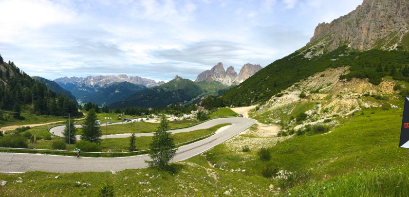
The Brentonico Loop from Rovereto was 90km and 1800m of climbing. headed south from town and then into the hills above Lake Garda.


Next day was kind of a rest day with some hills around Rovereto and then down to Lake Garda to find the lazy buys who were being pretty lazy! 74km and 1500m of climbing.


Our final day around Rovereto was the Monte Baldone climb but first it was a trundle up a bike path to Trento. One un named rider claimed he smelt coffee at Trento and stopped there. Truth is he smelt a tough climb and pussied around town. Sigh…. as Hodgey would say. Off we set and a difficult climb it was, but a great ride in all. 95km and 1960m climbed. Much less for the un named one!


Off to Cortina d’Ampezzo

But first, a little about Cortina. When Italy entered World War I most of the men were fighting for Austria-Hungary on the Russian front. After the Austrian recovery in 1917, the town was occupied again by the Tyrolean Standschützen.[14]Following Italy’s victory in World War I, Ampezzo was ceded to Italy in 1920.
Cortina d’Ampezzo was chosen as the venue of the 1944 winter Olympics, which did not take place due to World War II. Hosted the Winter Olympics in 1956, resulting in it becoming a world-famous resort.
The Ford Cortina, the UK’s best-selling car of the 1970s, was named after Cortina d’Ampezzo. Anyhow……………….
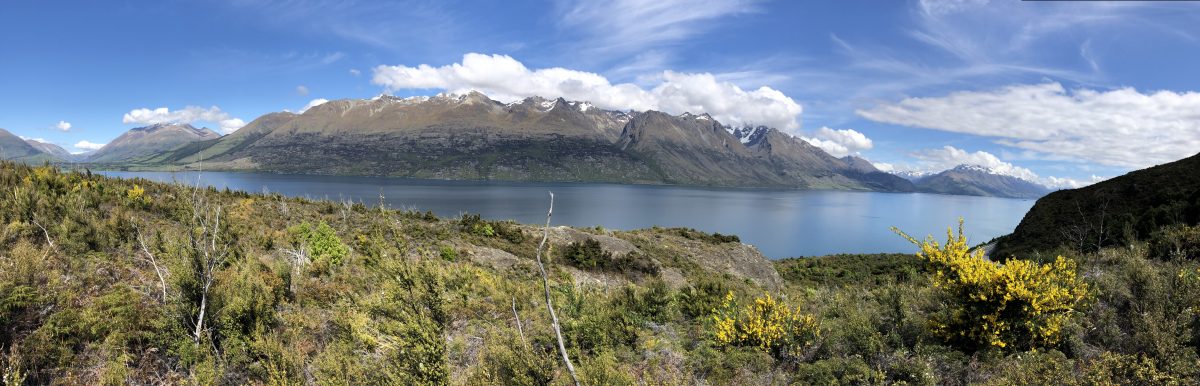
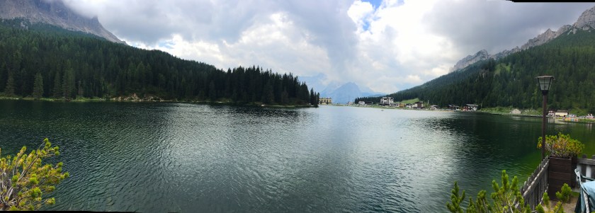
First ride was Misurina Loop with Tre Cime. Terrific first ride through the valley before starting the climb to the the time with cars and busses. Steep last section with bus stalling on a steep corner allowing someone to take the opportunity to walk. Brilliant lunch by Lago di Misurina… which will be visited a few times this trip. 56km with 1470m climbed.


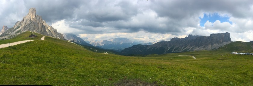
The Giau.. the bloody steep side! Off we set on a very comfortable downhill 20km cruise away from Cortina. Then a couple of warm up climbs on which we got passed by an electric mountain biker. Note to self..Must get one! And then the Giau which was steep and quite did me over. So much that I staggered onto and electric fence at the top. 97km and 2600m of climbing.


Next up was La Villa Loop and a couple of the brothers missed this stunner. (Hodgey sigh again on behalf of them) 84km and 2200m of climbing over 3 peaks.


A bit of a rest day next. This was Hello Boys or The Giau and Lake Misurina ride. Brent was coaxed into half this ride when we conceded a coffee and rest after the first 5km. For those who went on, we went up to Lago di Misurina for lunch. Also went up the gondola for a bit of a look around an old fort for the rest of the afternoon.


The queen stage…for most. A Hodgey sigh again given Paul and Brent drove part of this. The Sella Ronda Loop was 116km and 3200m of climbing involving 5 climbs. Fairytale country on this loop.


The final day was a bit optional. Dave and I took off for another loop that included the Giau. Turned out to be 68km and 2100m of climbing. No idea what the others did. Maybe Misurina for lunch.


Group Shots


