NZ South Island Gravel Bike Pack

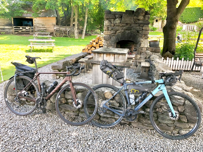
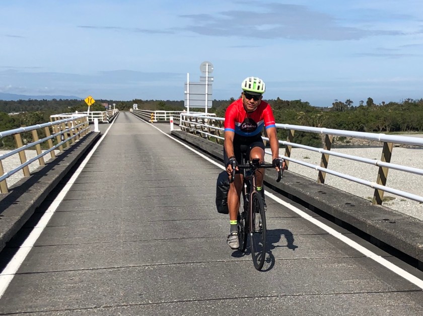
The 2020 tour plan was to cover 1000km and link key sections of 5 trails: Alps 2 Ocean, Otago Central Rail Trail, Roxburgh Gorge Trail, Clutha Gold Trail and finally the Around the Mountains Trail. Start point was Lake Tekapo and end point was Queenstown.

Overall route map: https://connect.garmin.com/modern/course/29986015

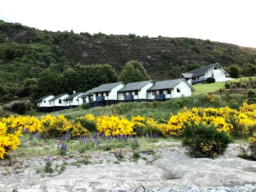
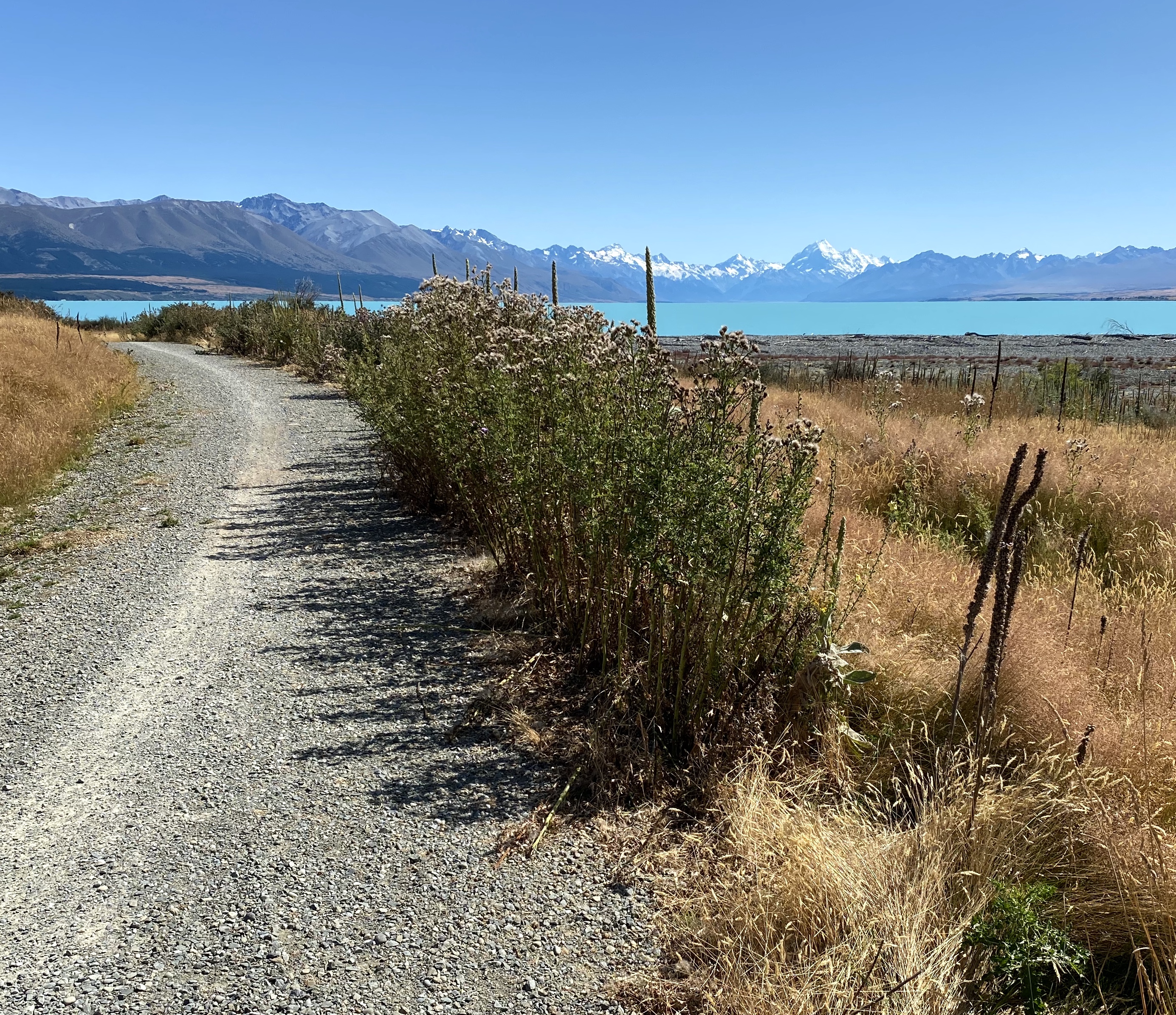
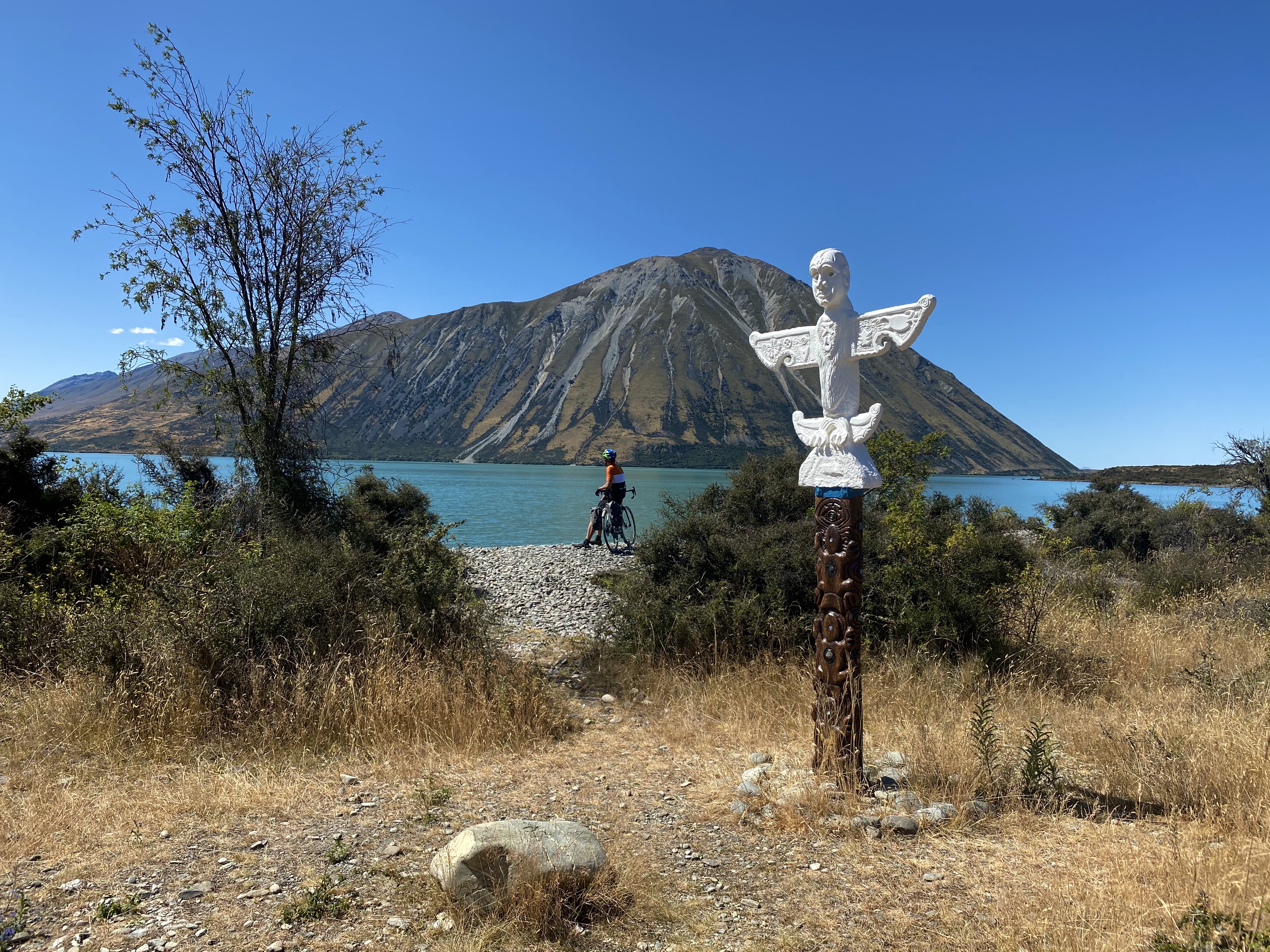
DAY 1 LAKE TEKAPO TO LAKE OHAU LODGE (96km)

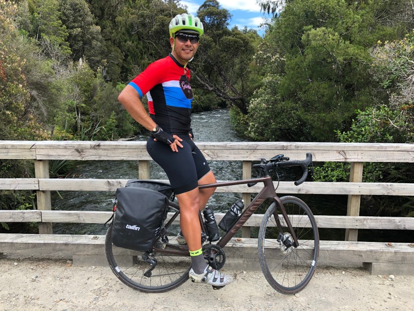
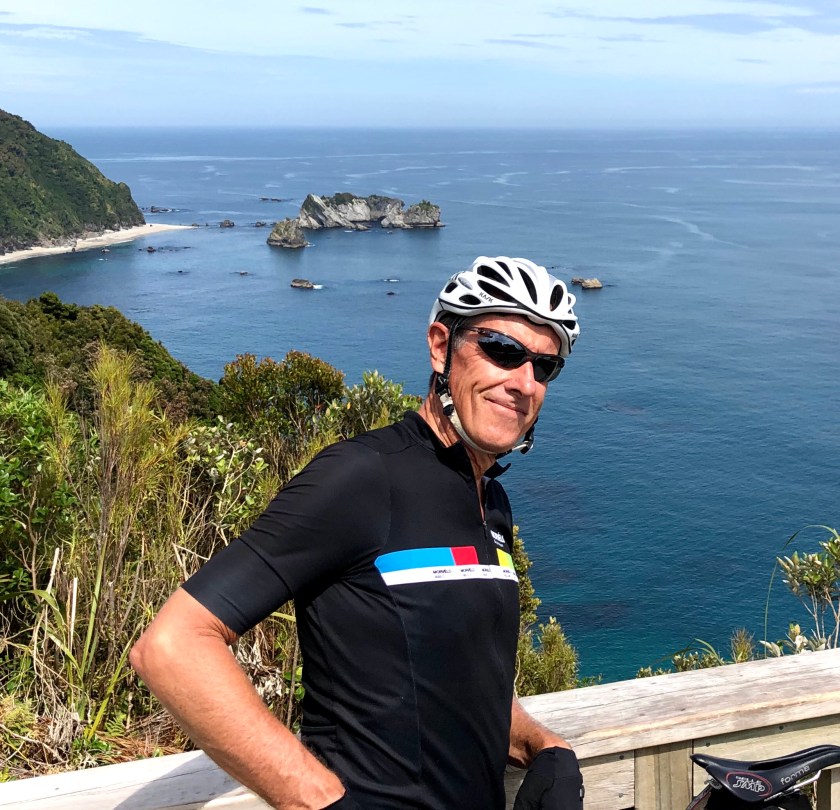
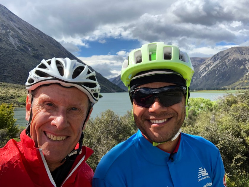
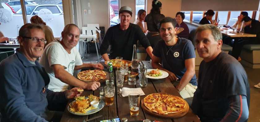
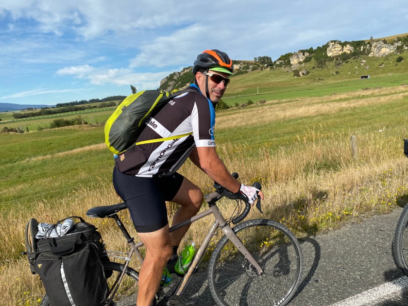
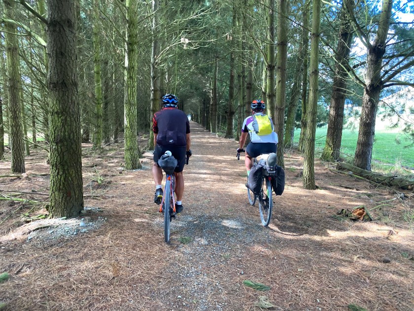
Our friend Damien from Wanaka was very kind and drove us to Lake Tekapo for the grand journey to commence. This stage is part of the Alps 2 Ocean Trail. After the obligatory drinks and meal, the stunning scenery started immediately as we made our way to Twizel for lunch and then onto the Lodge which is the only accommodation in this destination.

Route map: https://www.strava.com/activities/3087254912

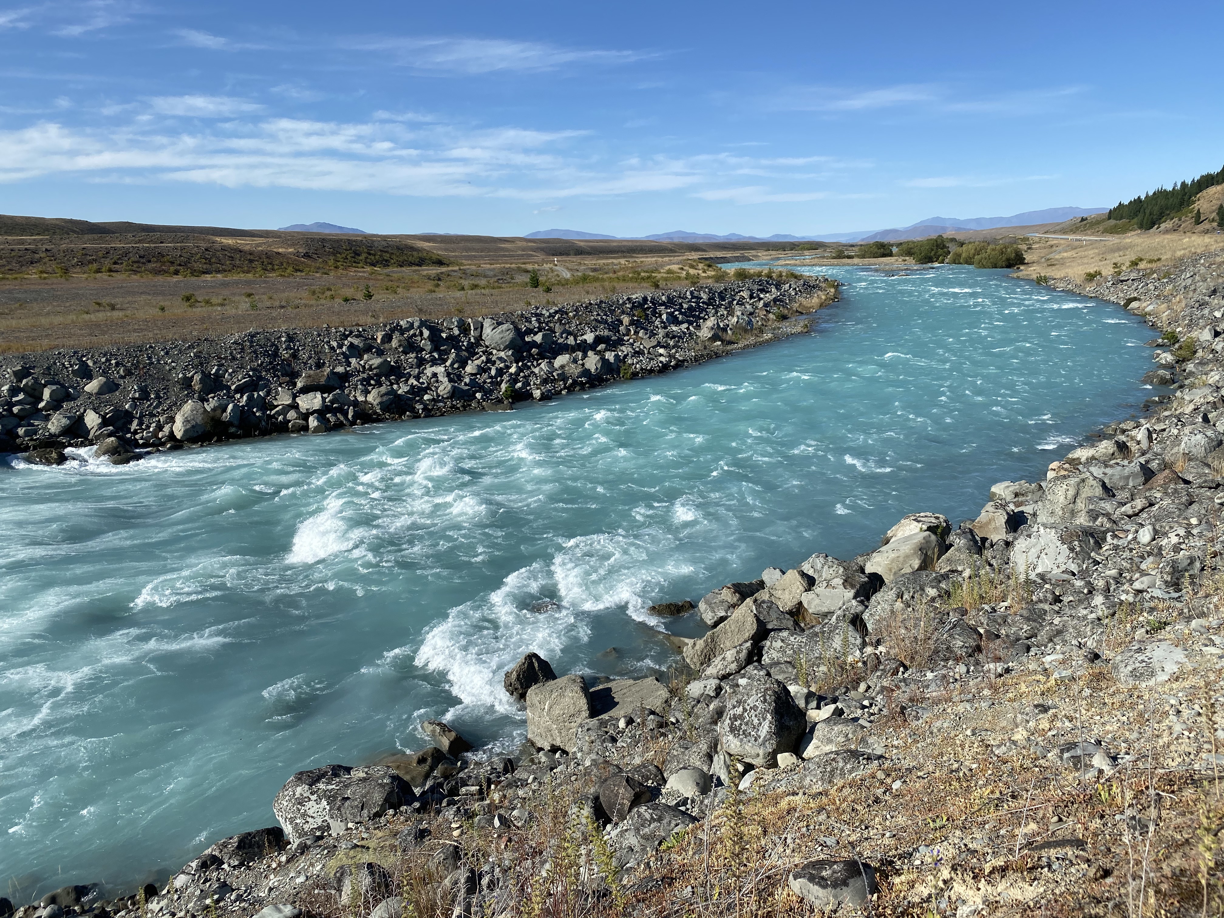
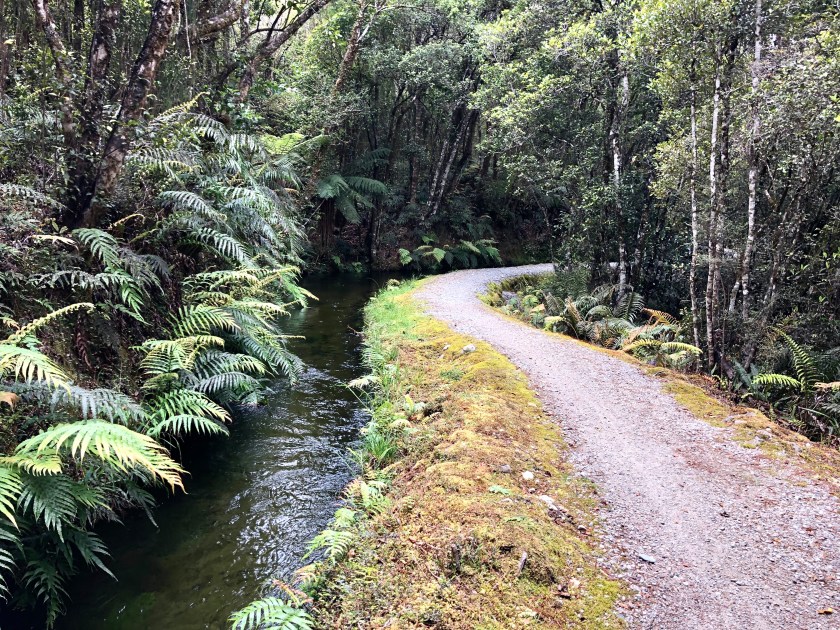
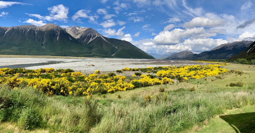
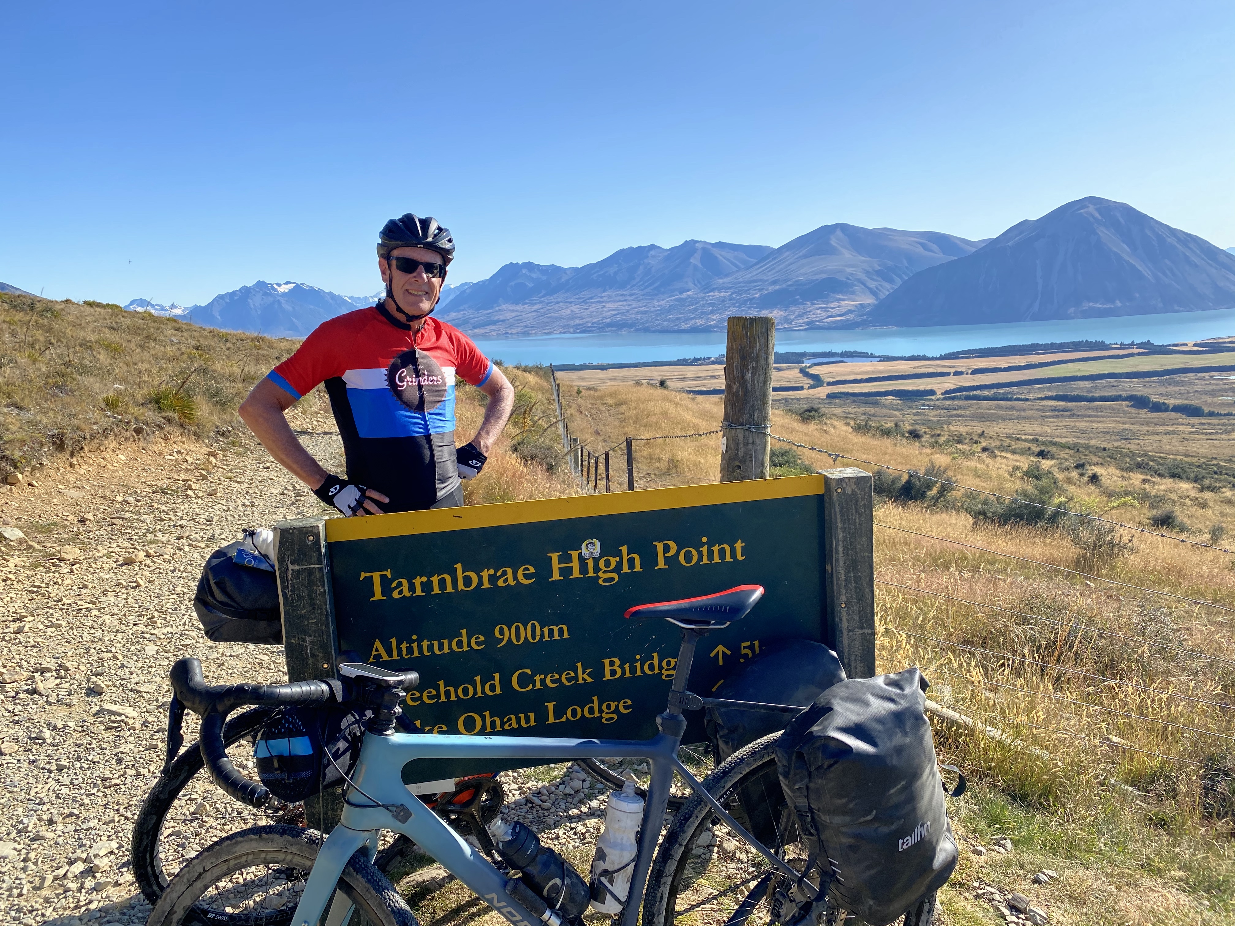
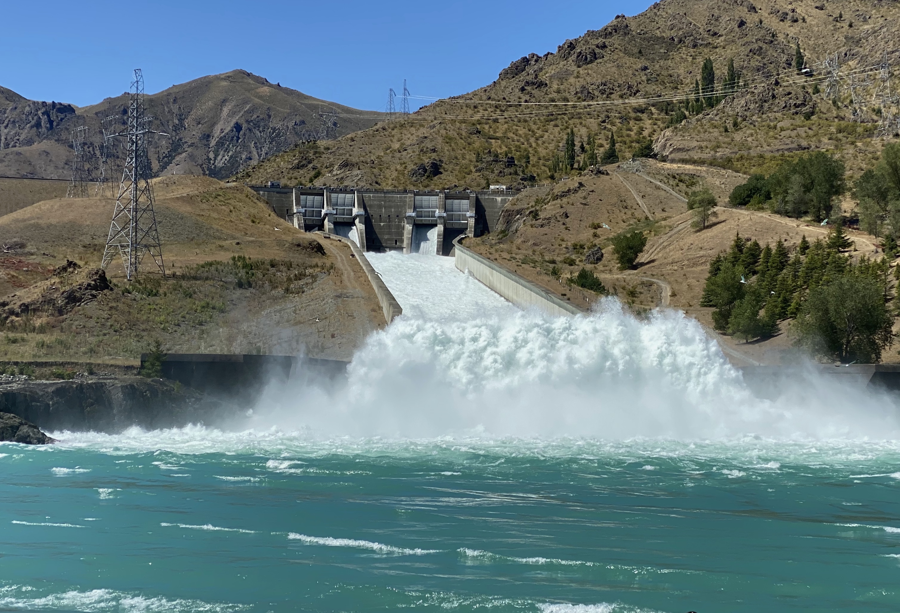
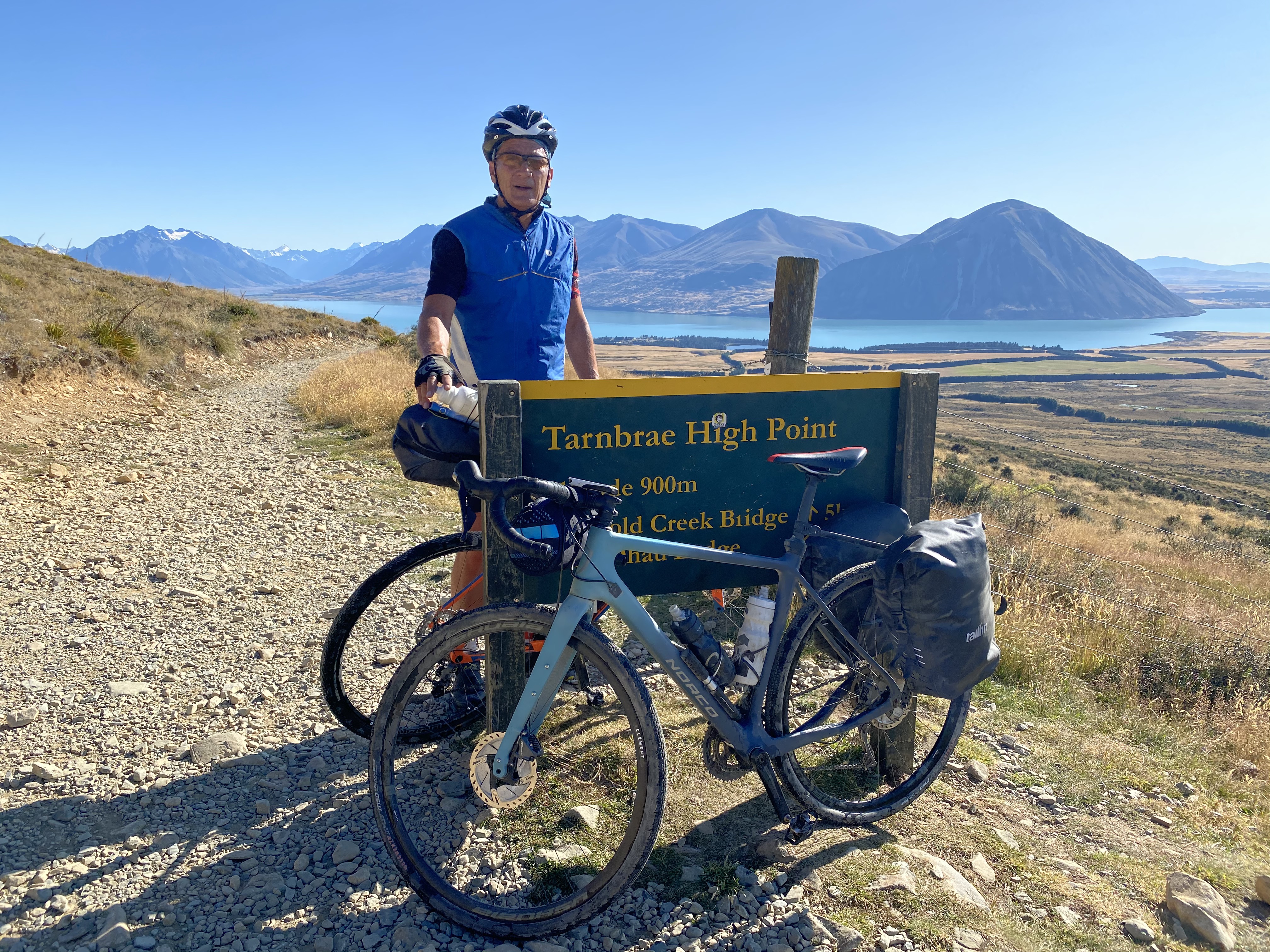
DAY 2 LAKE OHAU LODGE TO KUROW (114km) (Alps 2 Ocean Trail)

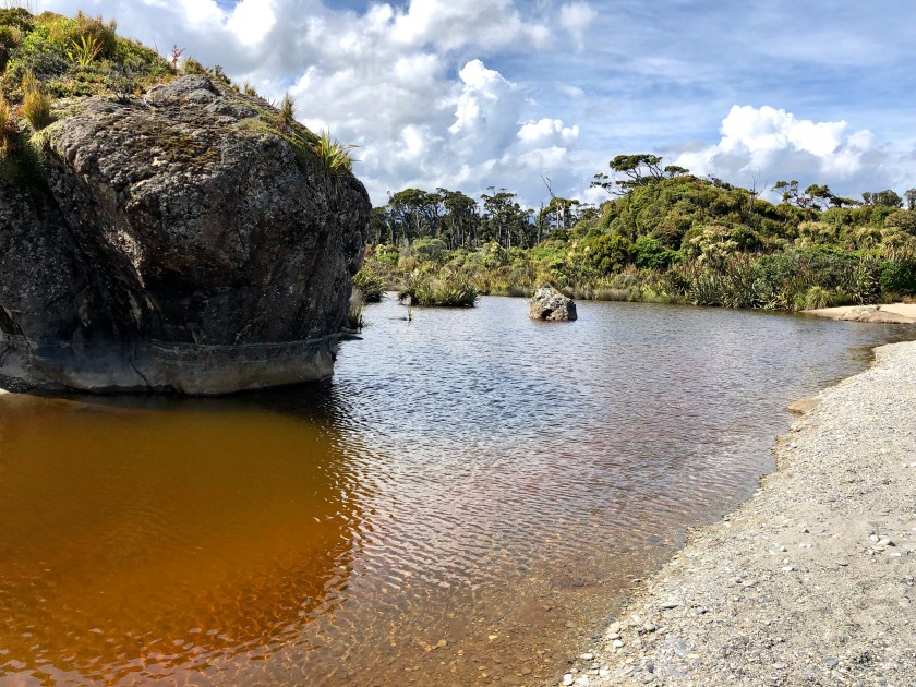
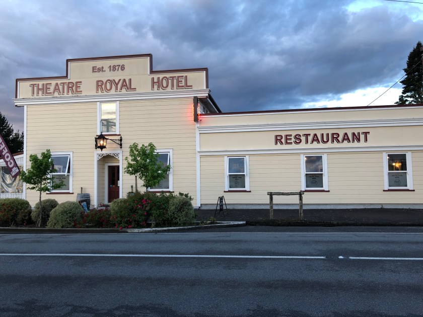
The days starts with an immediate shale trail climb from the lodge to Tarnbrae High Point at 900m. Great views before a technical start to the descent and then a nice flowing trail to the bottom. From here we pass by a couple of dams and then join the gravel for our arrival in Kurow. Great pub meal here.

Route Map: https://www.strava.com/activities/3089644623

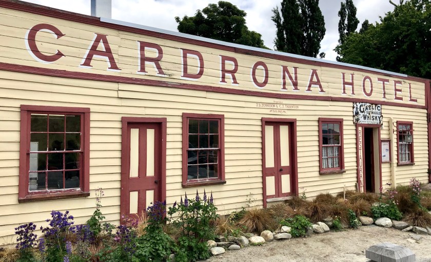
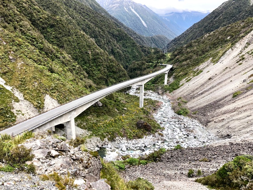
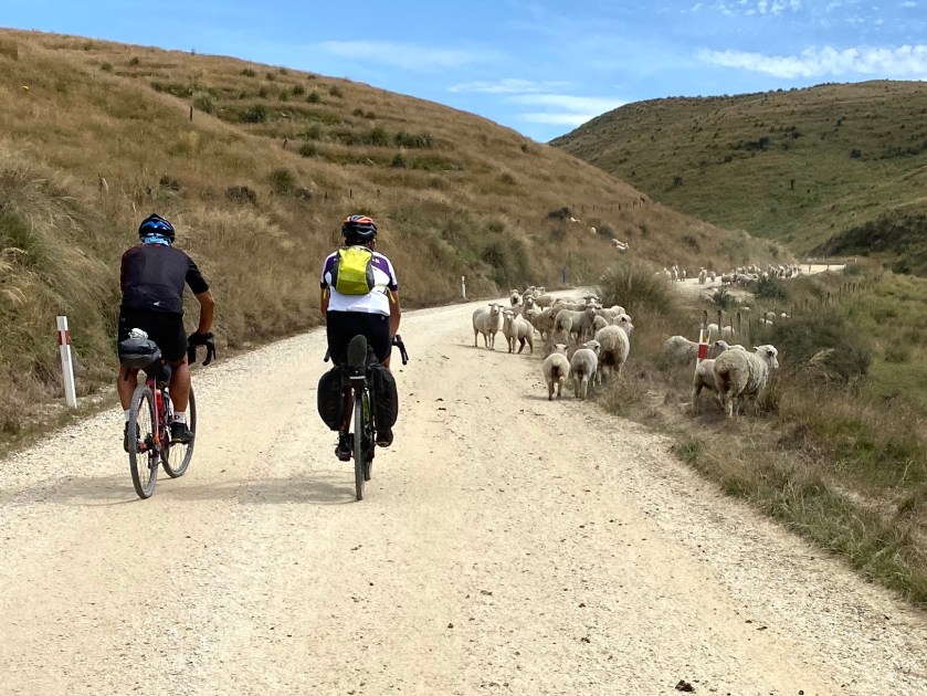
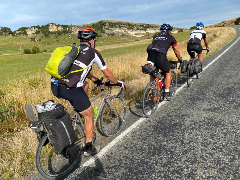
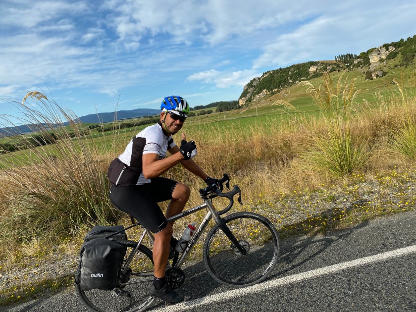
DAY 3 KUROW TO NASEBY VIA INFAMOUS DANSEY PASS (93km)

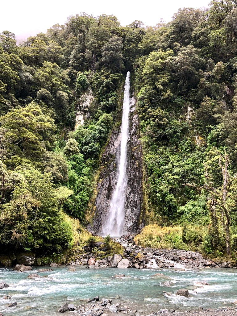
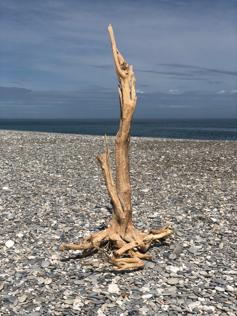
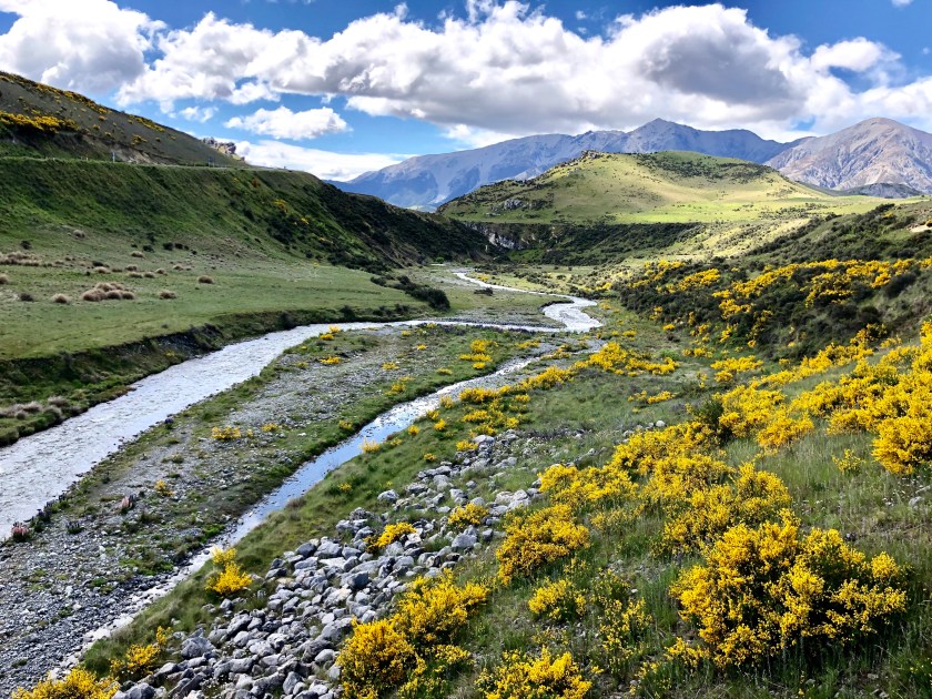
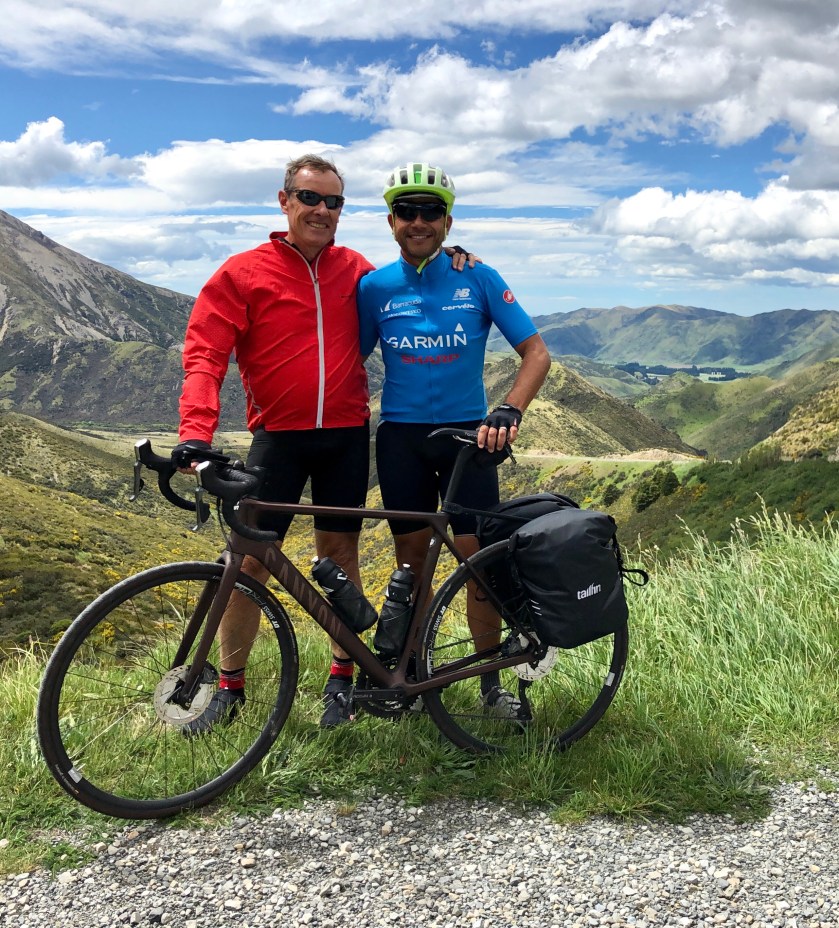
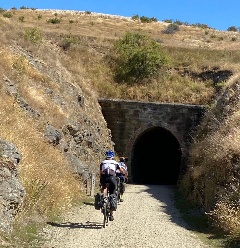
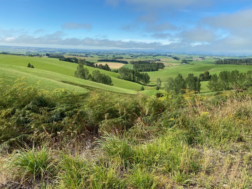
Our final section of the Alps 2 Ocean Trail as we need to cross Dansey Pass for the next trail link. A little bit of nervous chat as Dansey Pass appears on a website called Dangerous Roads. So not sure what to expect but it turns out to be a super scenic run to the start of the climb as we pass through a local lavender farm and are encountered by 4000 sheep on the road being driven to somewhere on the pass. Last 4 km of the climb is a tough slog and care needs to be taken with any oncoming traffic; fortunately not much. A very satisfying day with a stay in former gold rush town of Naseby.

Route map: https://www.strava.com/activities/3092461249

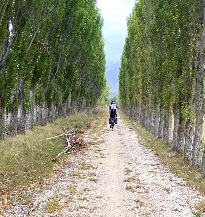
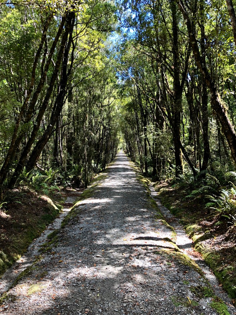
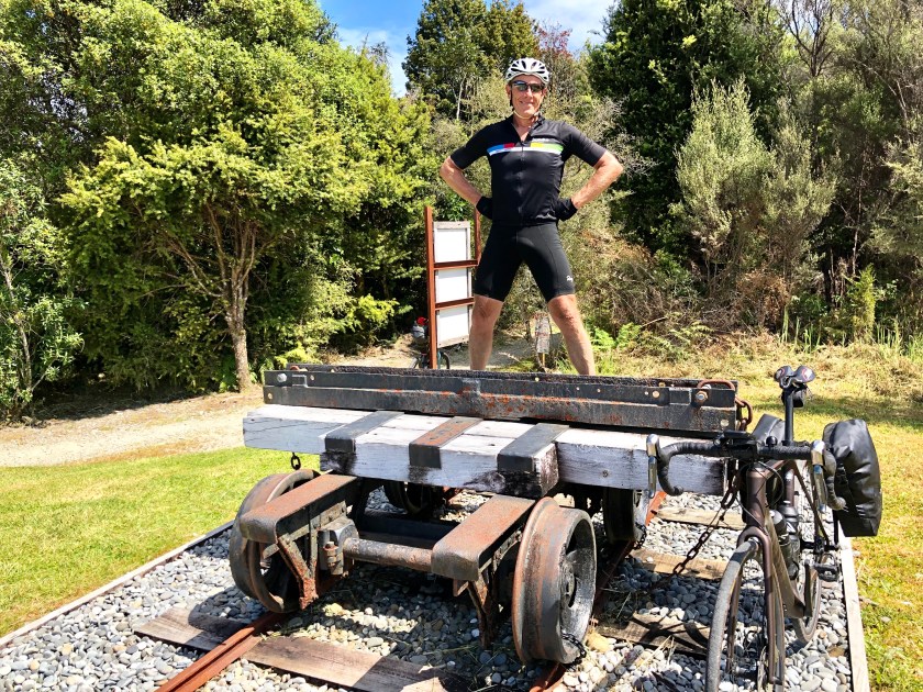
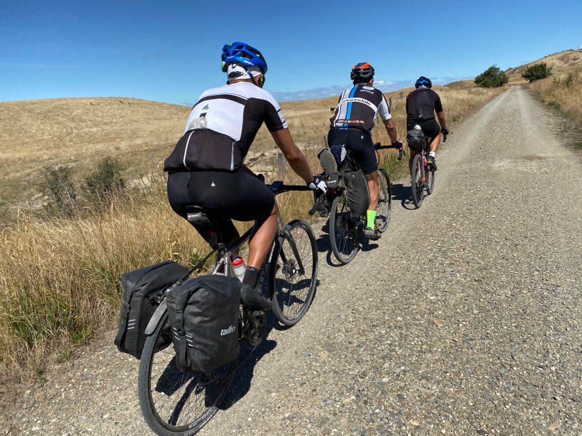
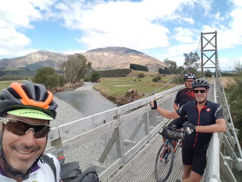
DAY 4 NASEBY TO CLYDE (Otago Central Rail Trail. 110km)

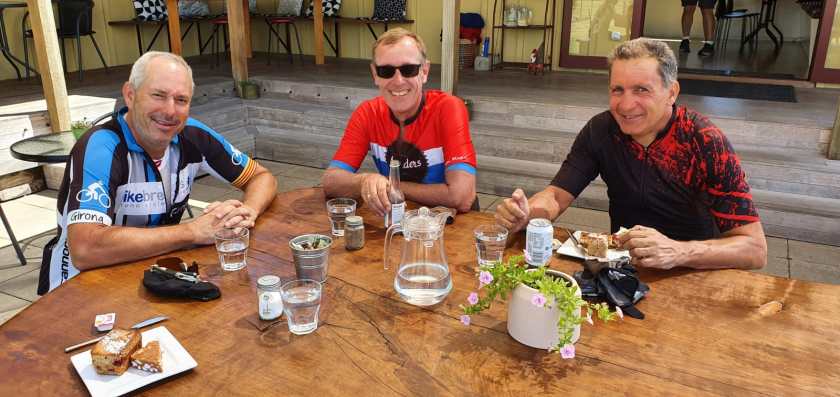
This stage focussed on joining the Otago Central Rail Trail and staying at another gold rush town of Clyde with a couple of very good restaurant option.. Bit of head wind sth send but otherwise a nice gentle day with a welcome cafe along the way for lunch.

Route Map: https://www.strava.com/activities/3095345927

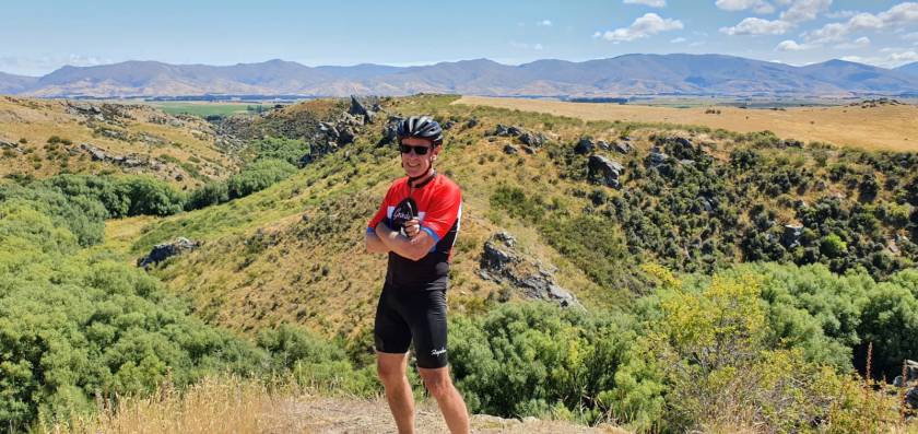
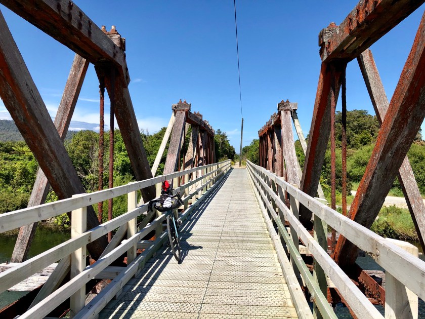
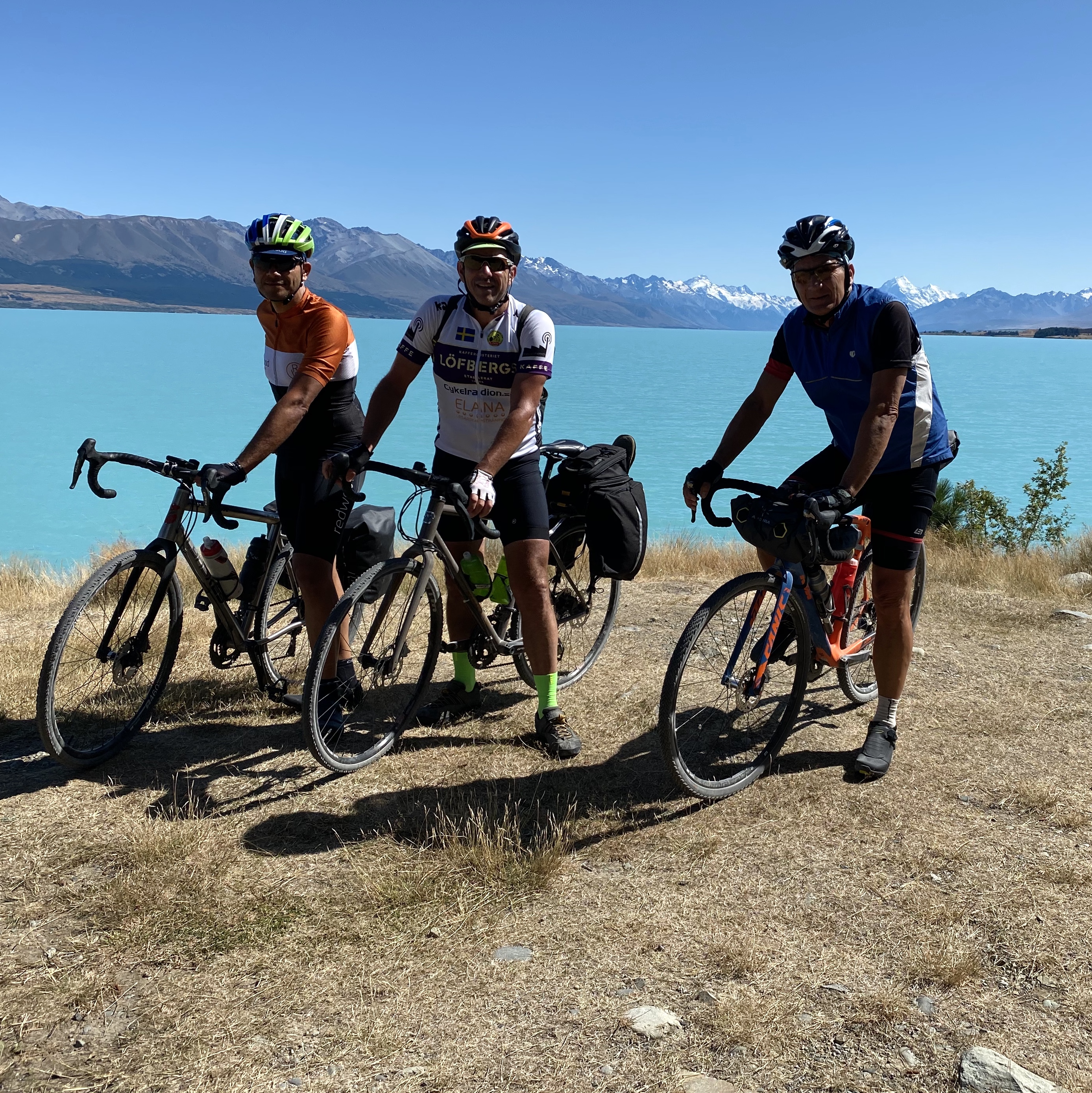
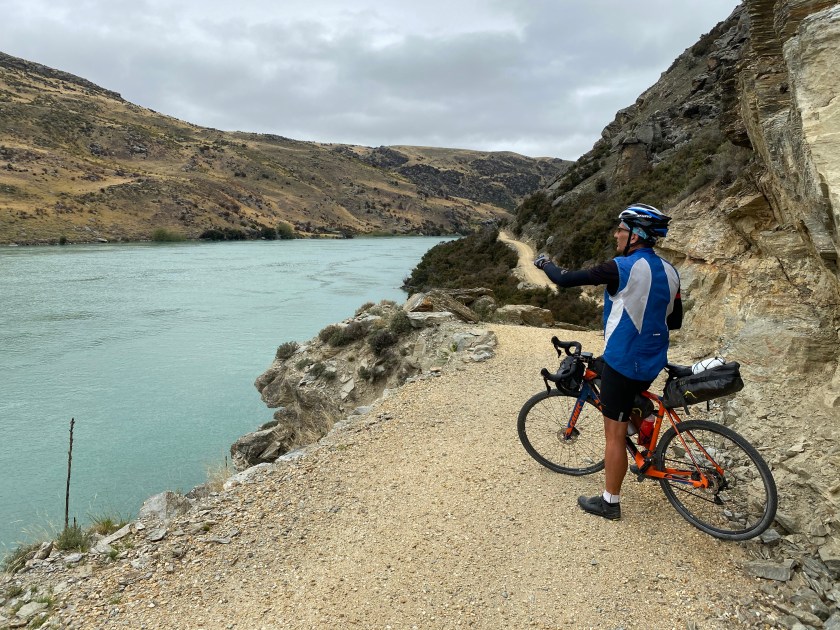
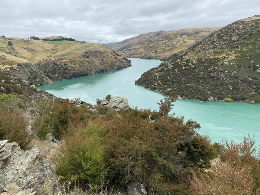
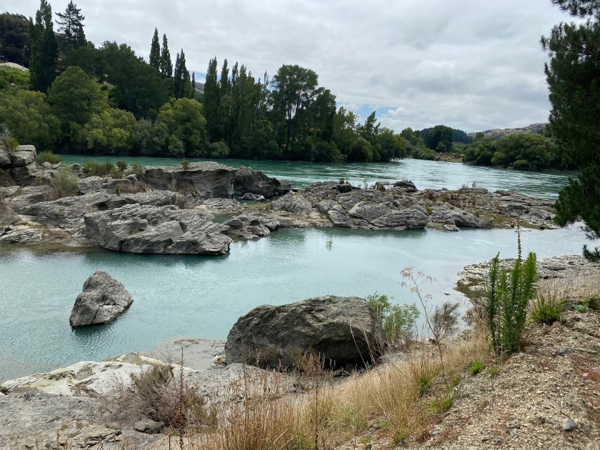
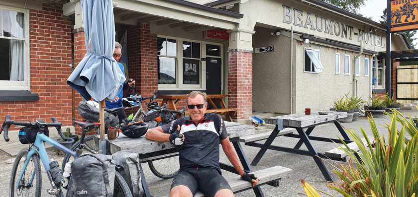
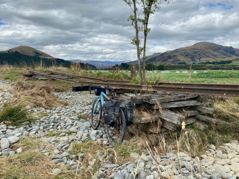
DAY 5 CLYDE TO BEAUMONT (Roxburgh Gorge and Clutha Gold Trail) (100km)

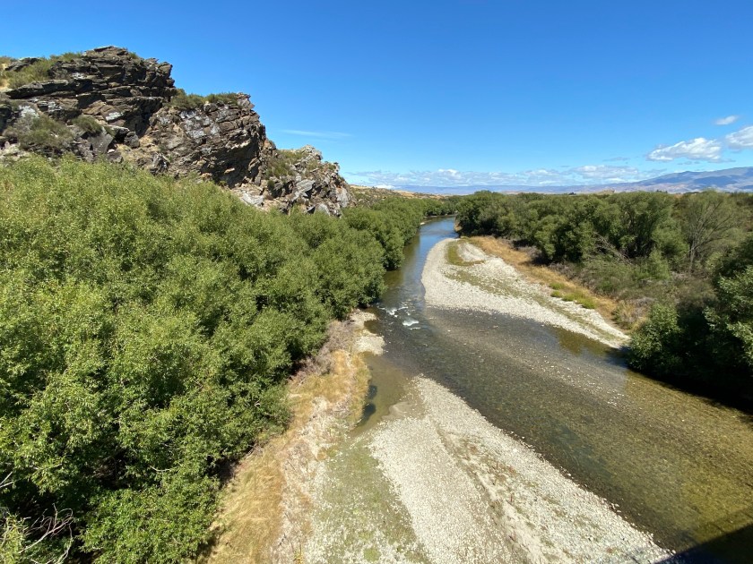
This was the highlight ride day. Beautiful ride down Roxburgh Gorge to connect with a Jetboat that takes you 13km down a dam to then continue the gorge ride to Roxburgh town for a very good lunch. Good cafe choices here. Then a quick connect onto the Clutha Gold Trail for a fantastic scenic run into the the one pub town of Beaumont for the night and a pretty expensive bar tab the next morning!. Felt like to locals jumped onto it.

Route Map: https://www.strava.com/activities/3098033283

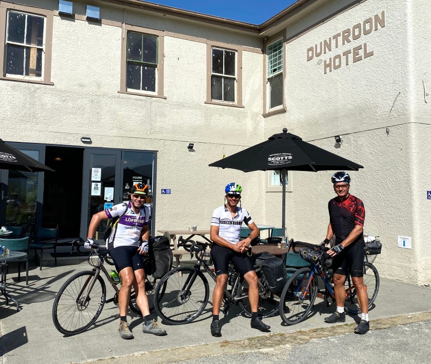
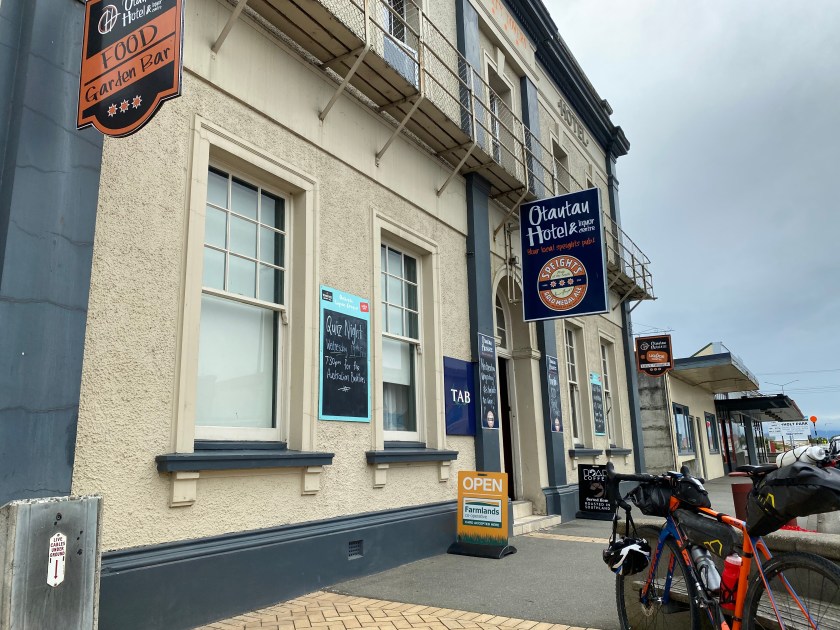
DAY 6 & 7 GORE AND OTAUTAU (Largely bitumen en route to Fiordland)

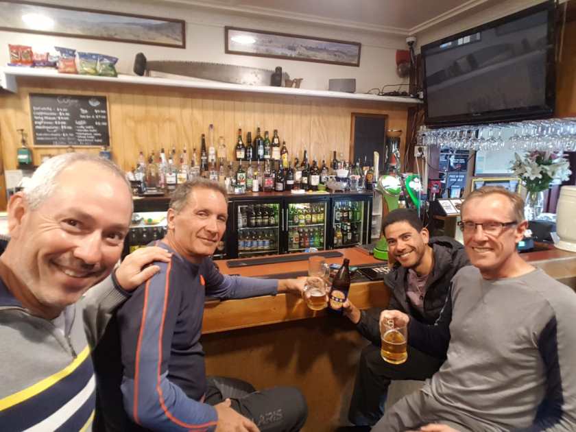
This two stages involved some gravel on local roads and also quiet bitumen roads as we moved through Southland on route to Fiordland. Travel through rolling farmland first to Gore which is famous for fishing (allegedly) and Otauatu which is famous for nothing but has a terrific local hotel owned by a couple of locals who provide excellent hospitality and meals.

Route Map : Gore https://www.strava.com/activities/3100400473. (90km)

Route Map : Otautau :https://www.strava.com/activities/3103422496. (101km)

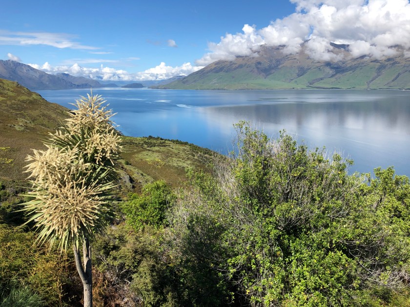
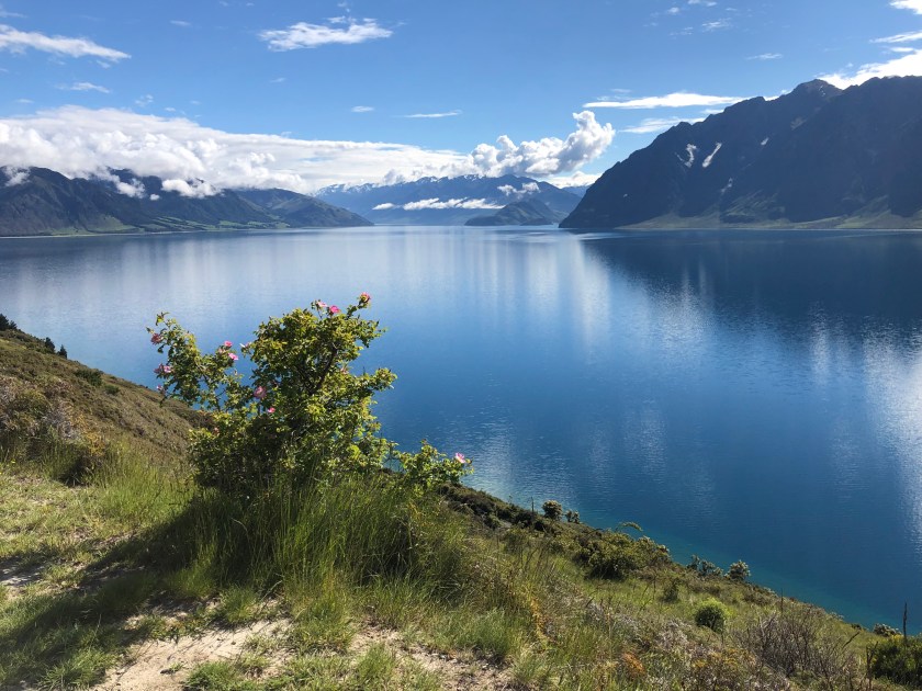
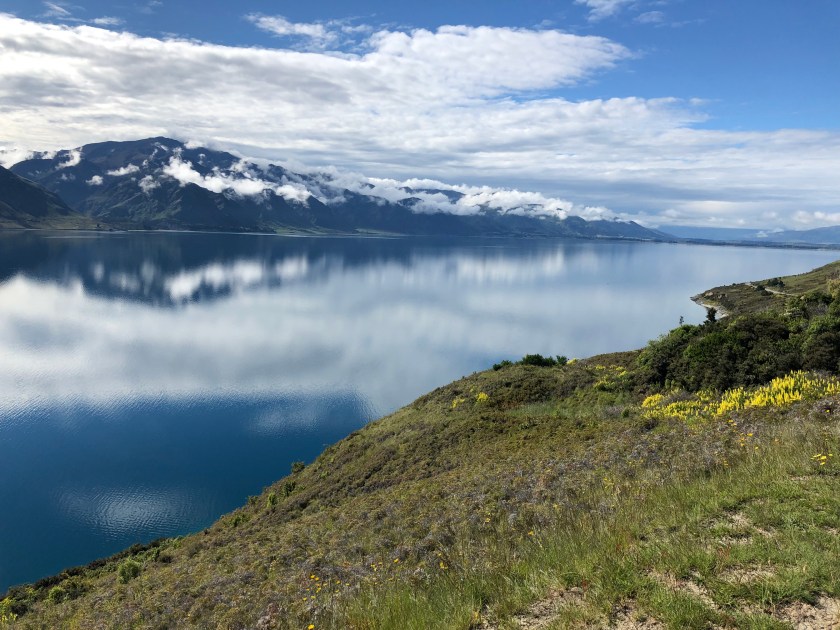
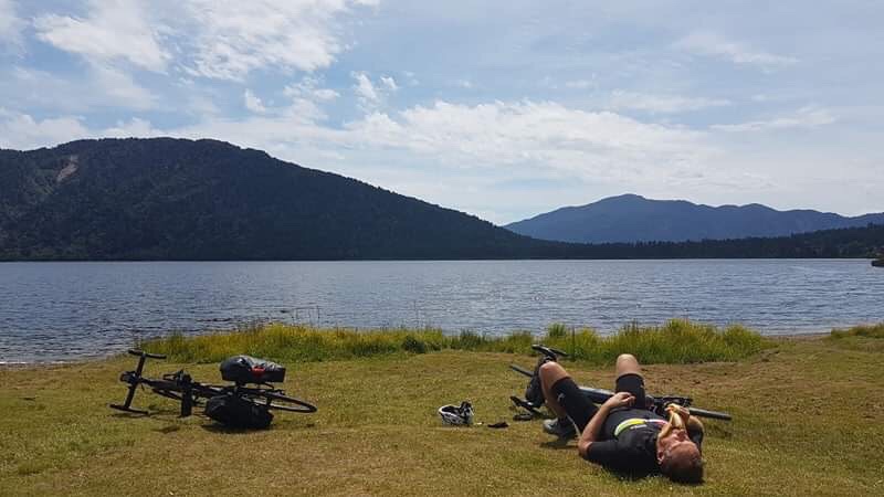
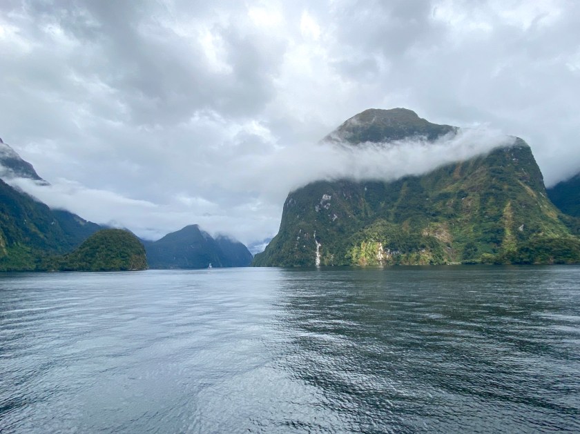
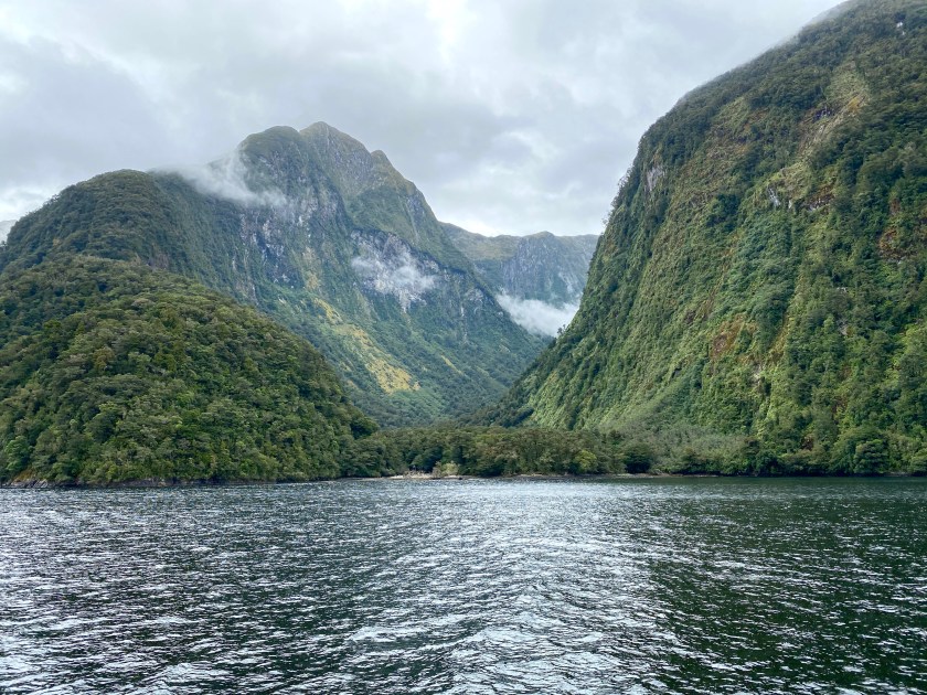
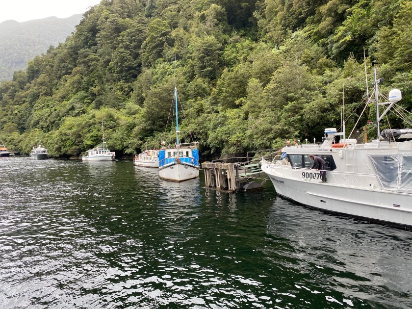
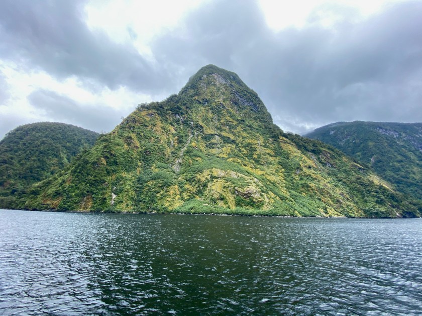
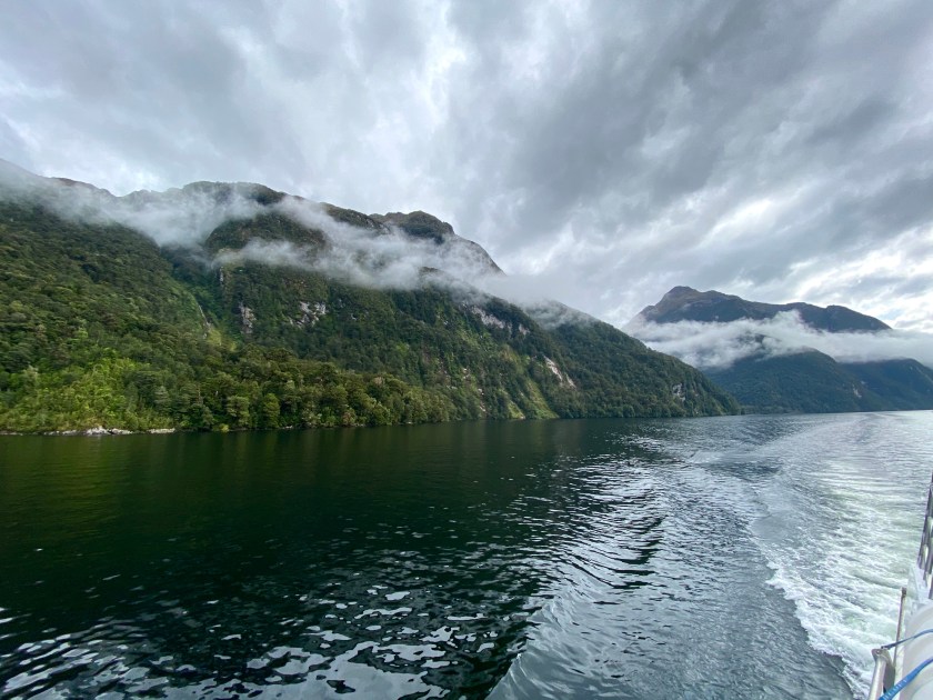
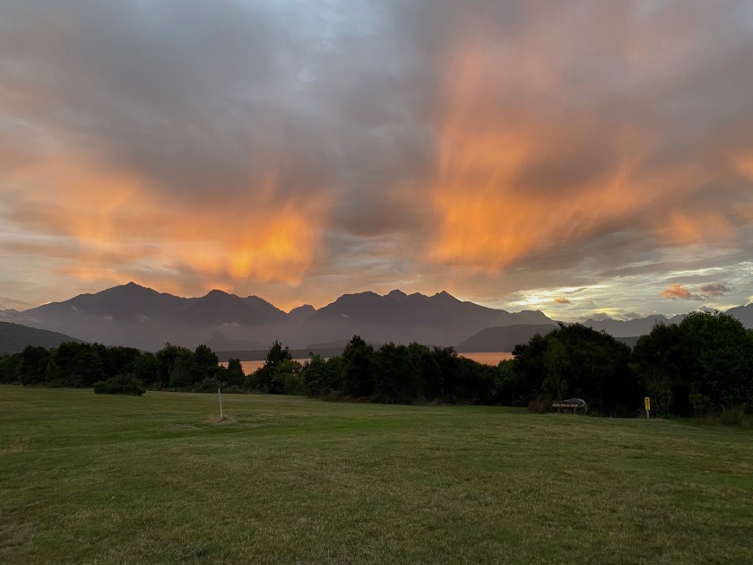
DAY 8 OTAUTAU TO MANAPOURI AND REST DAY ON DOUBTFUL SOUND FIORLAND (114km)

All very tired as we set off for our 8th day of 100km and a bit of a slog to get to this paradise location. Rest day spent on a cruise on Lake Manpourie and Doubtful Sound which is so spectaular

Route Map: https://www.strava.com/activities/3106756028

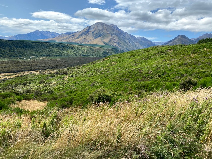
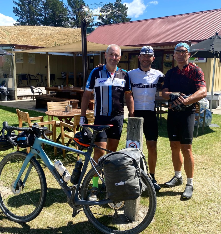
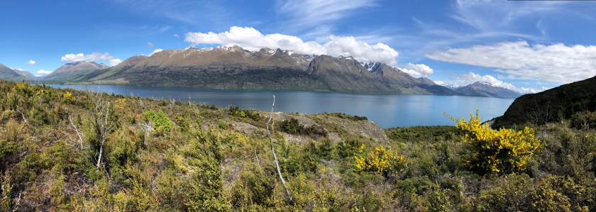
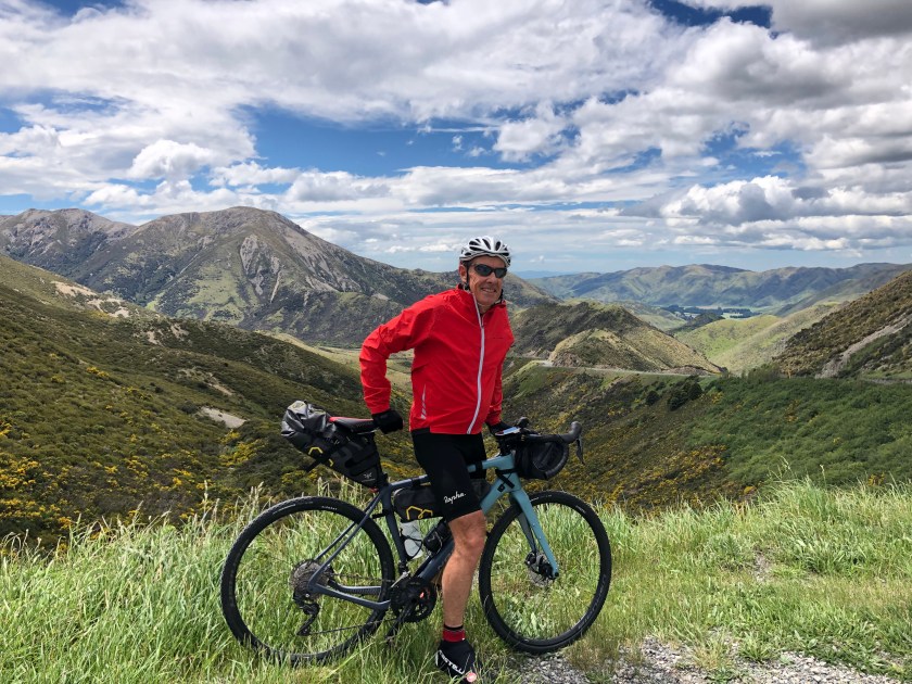
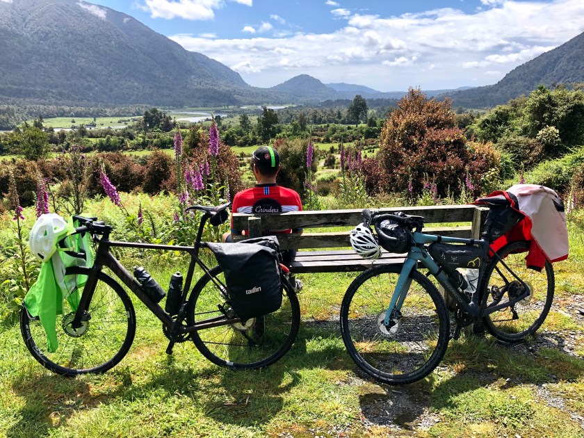
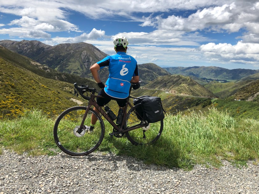
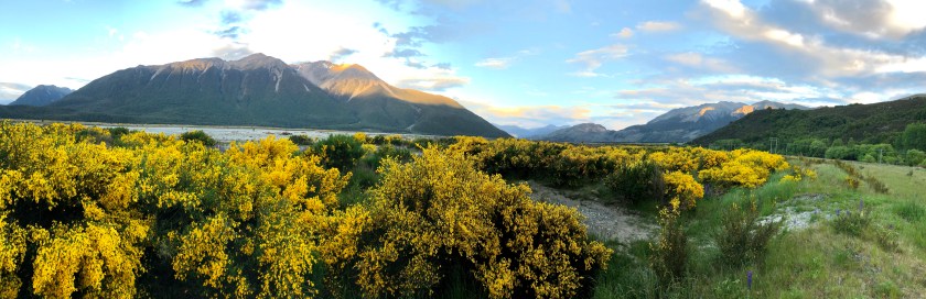
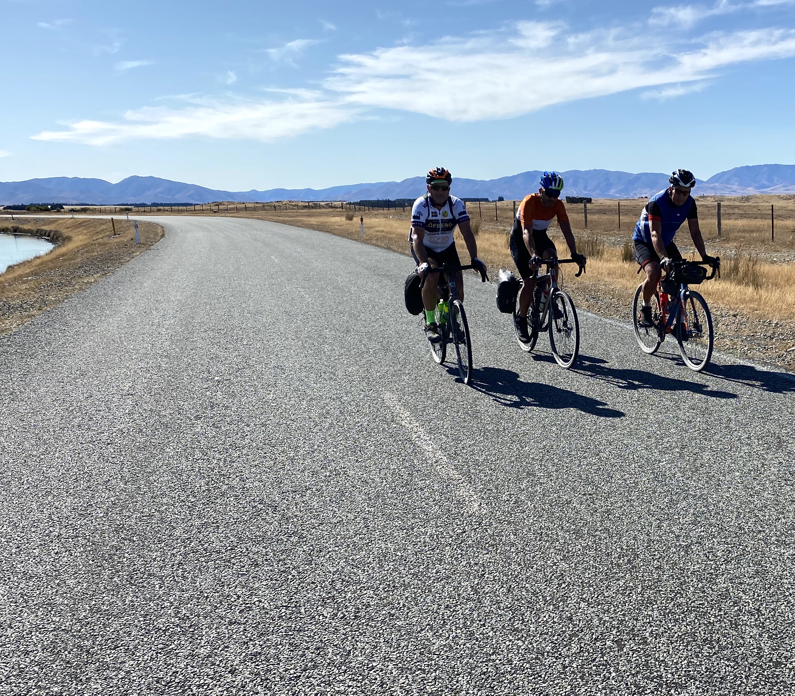
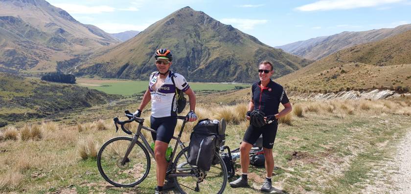
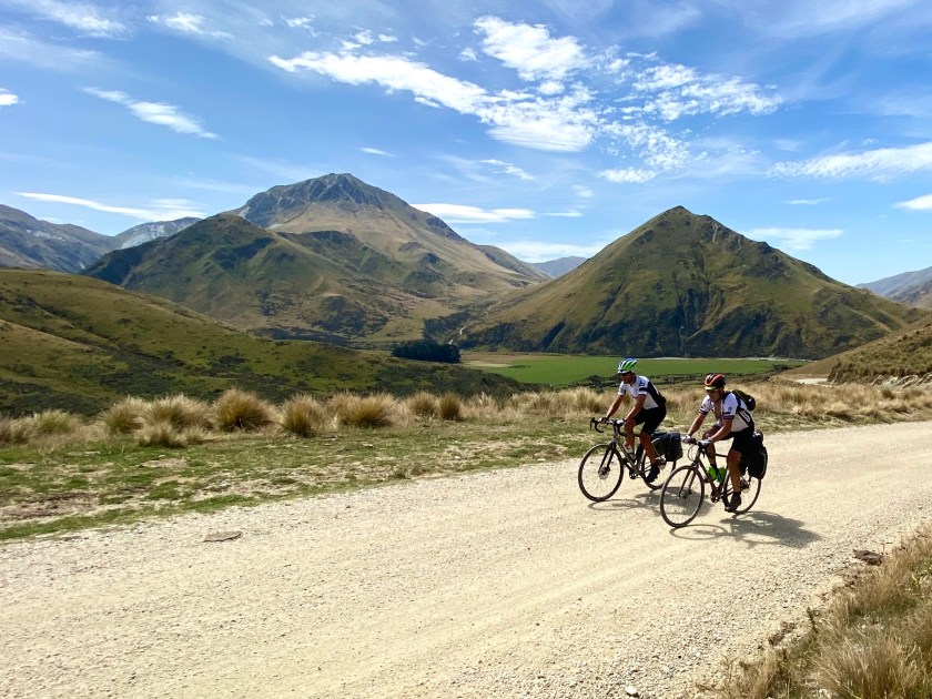
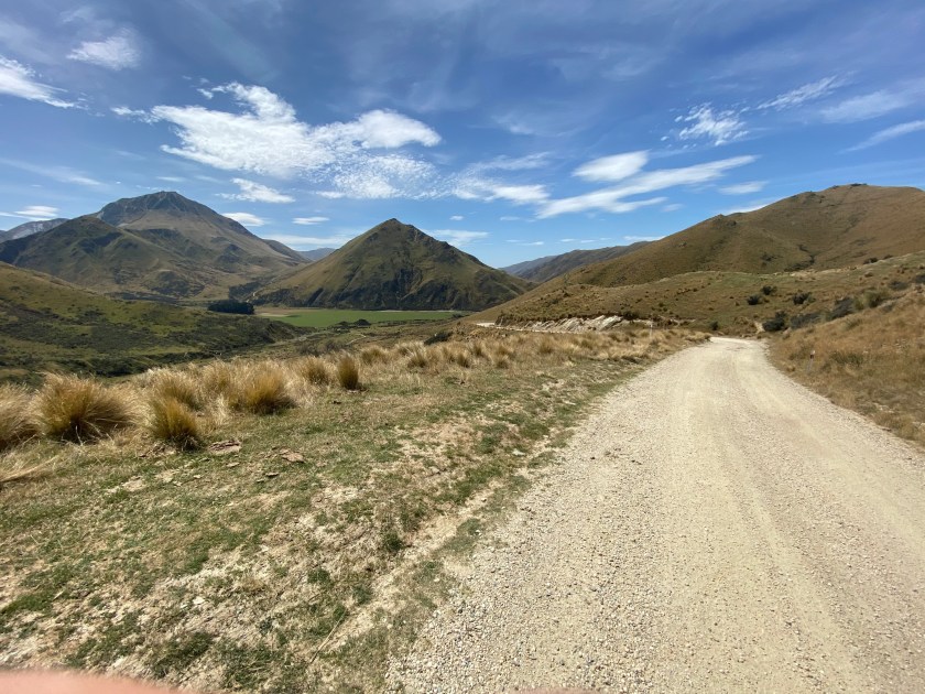
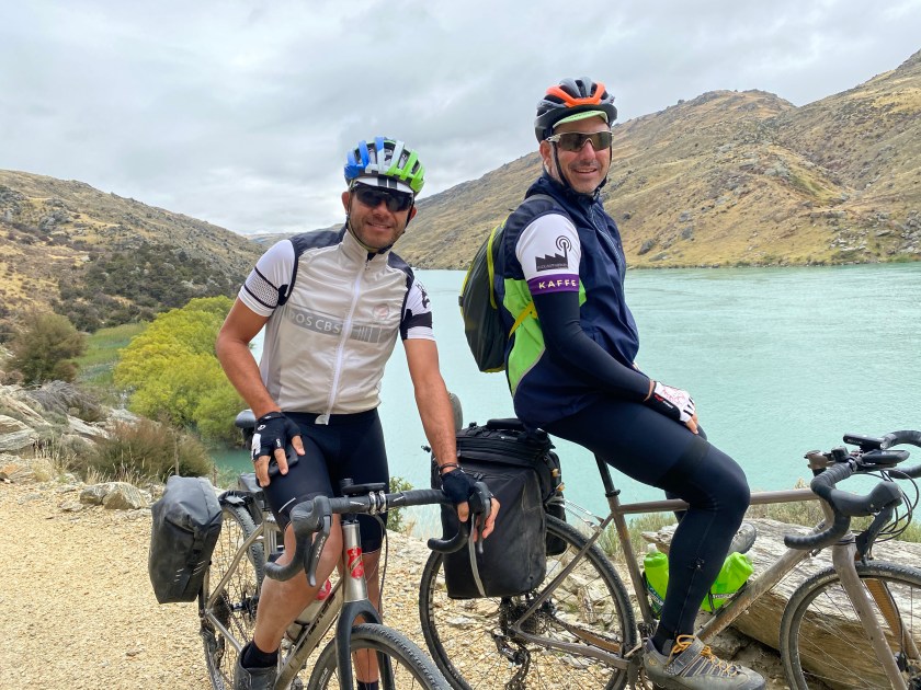
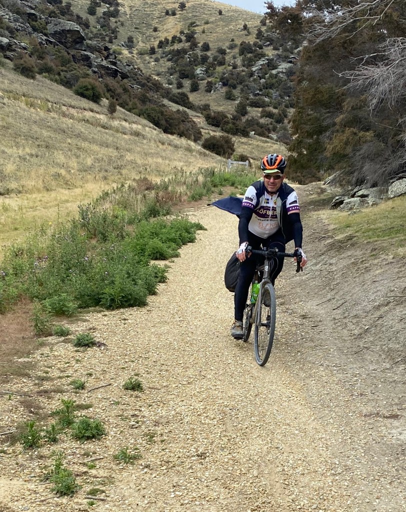
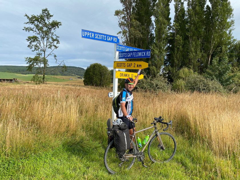
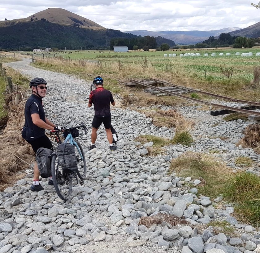
DAY 10 MANAPOURIE TO GARSTON (UNEXPECTED GRAVEL SECTION) (124km)

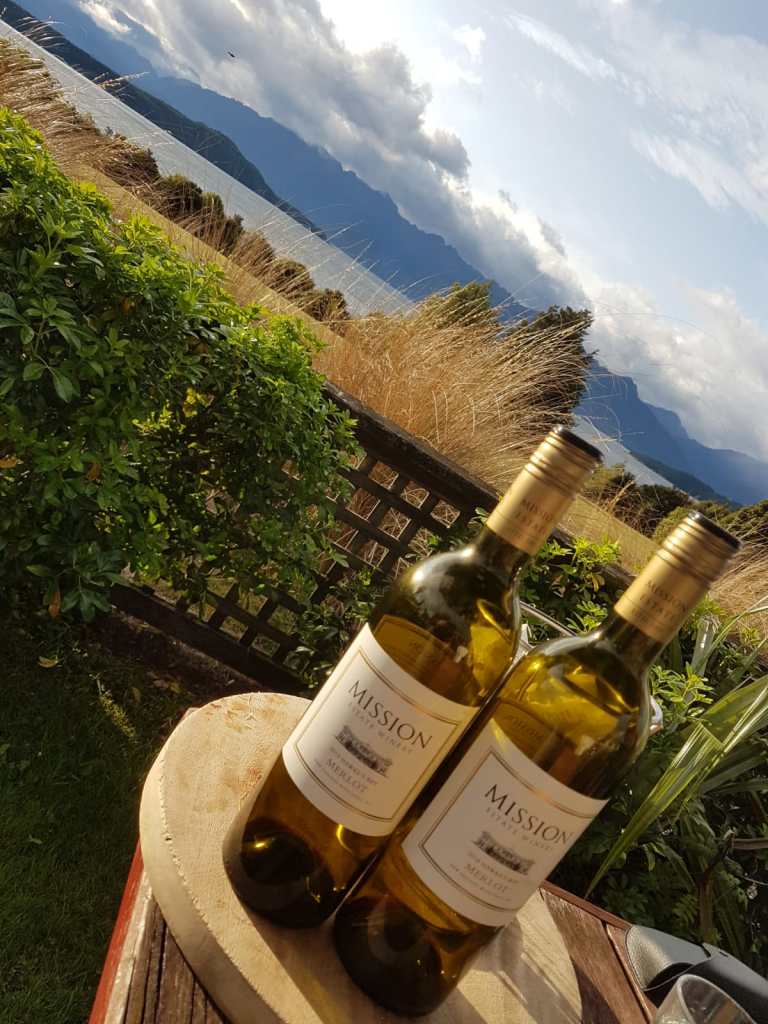
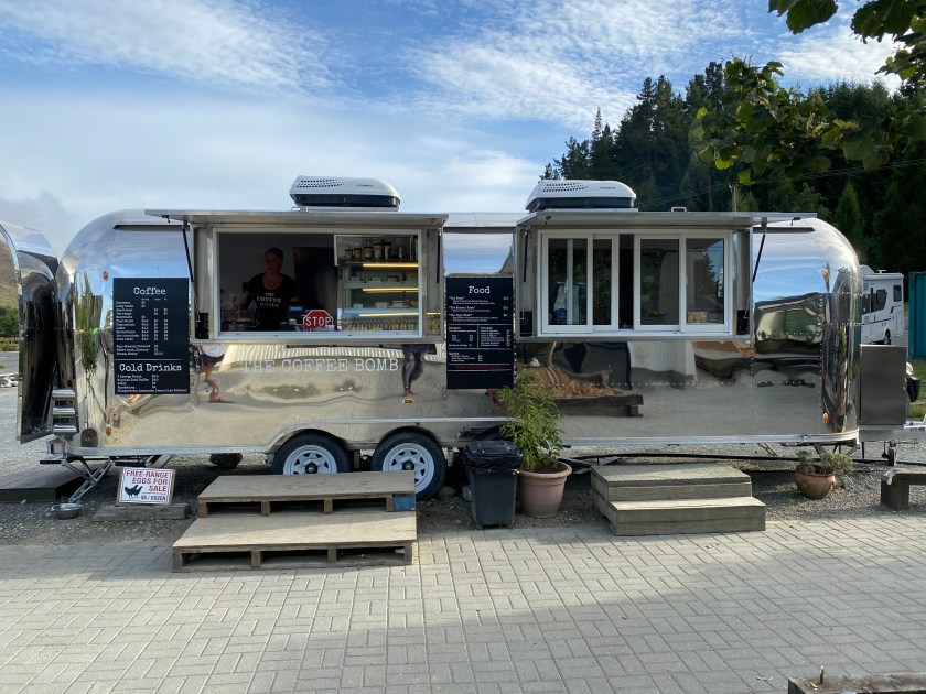
Set out on our 120km stage expecting to spend it on bitumen. Midway on route and over lunch realise we were close to the Around The Mountains Trail. As it turned out it was the 2nd best section of trail we rode. Stayed in Garston which is a neat little spot with great Art Deco hotel, art gallery and brilliant coffee van for the next morning start to the day. Large bar tab again next morning!

Route Map: https://www.strava.com/activities/3112525828

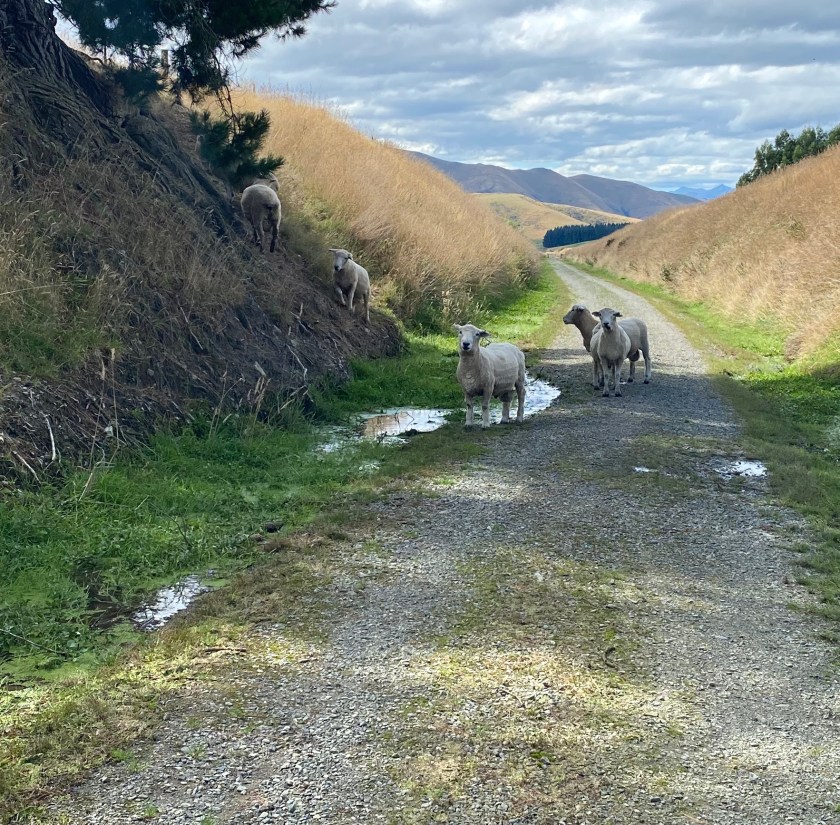
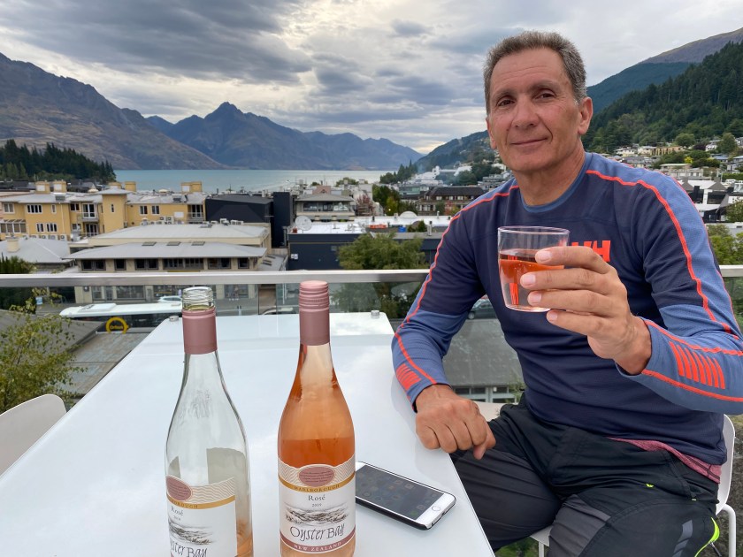
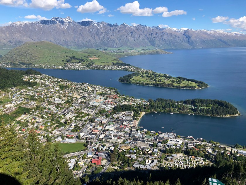
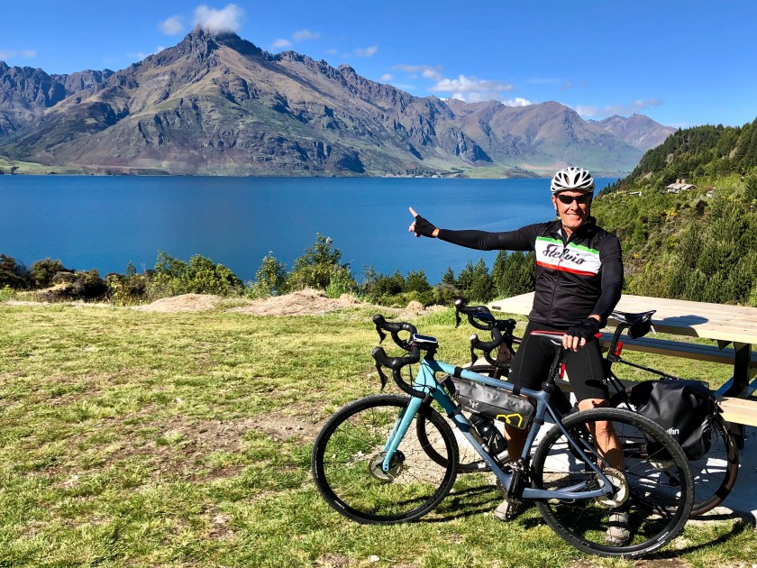
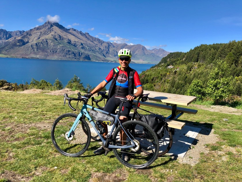
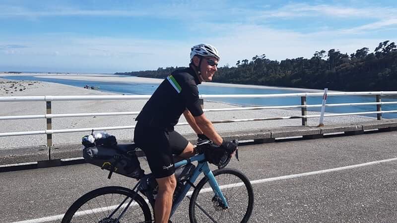
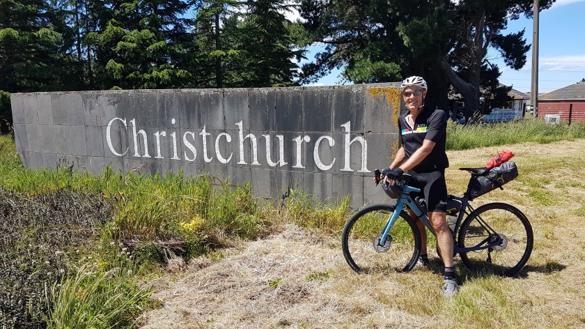
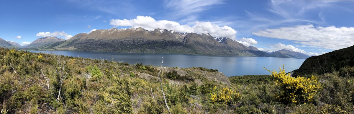
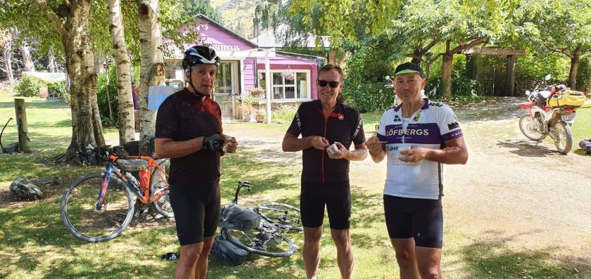
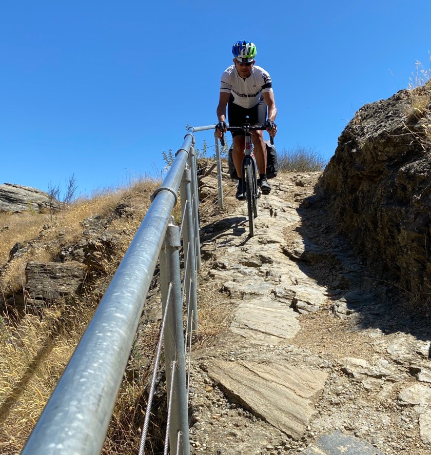
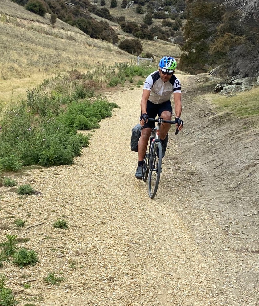
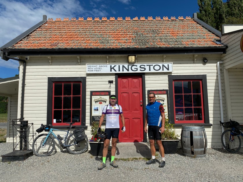
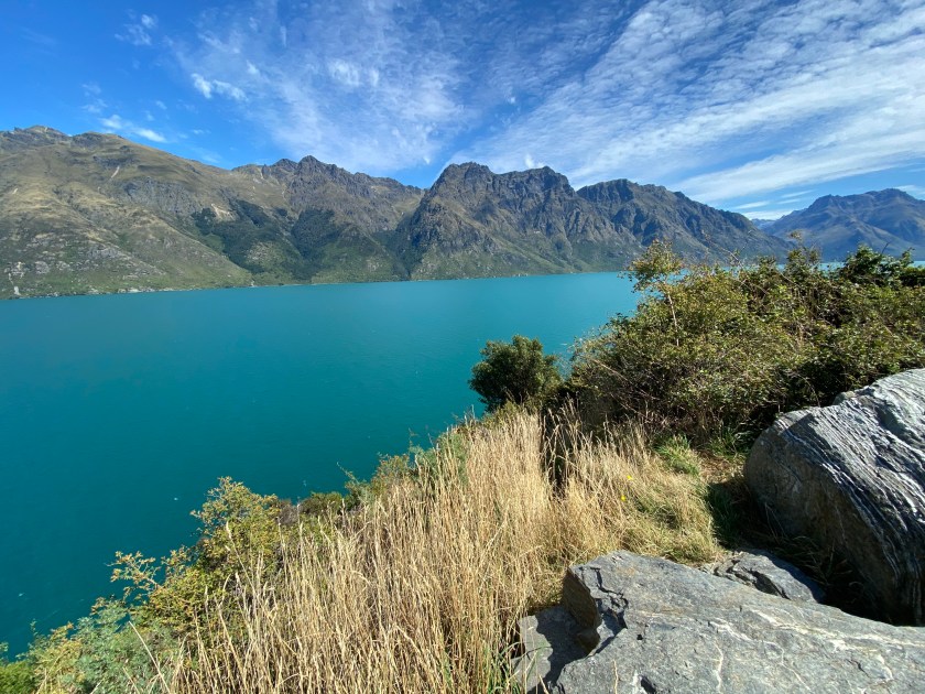
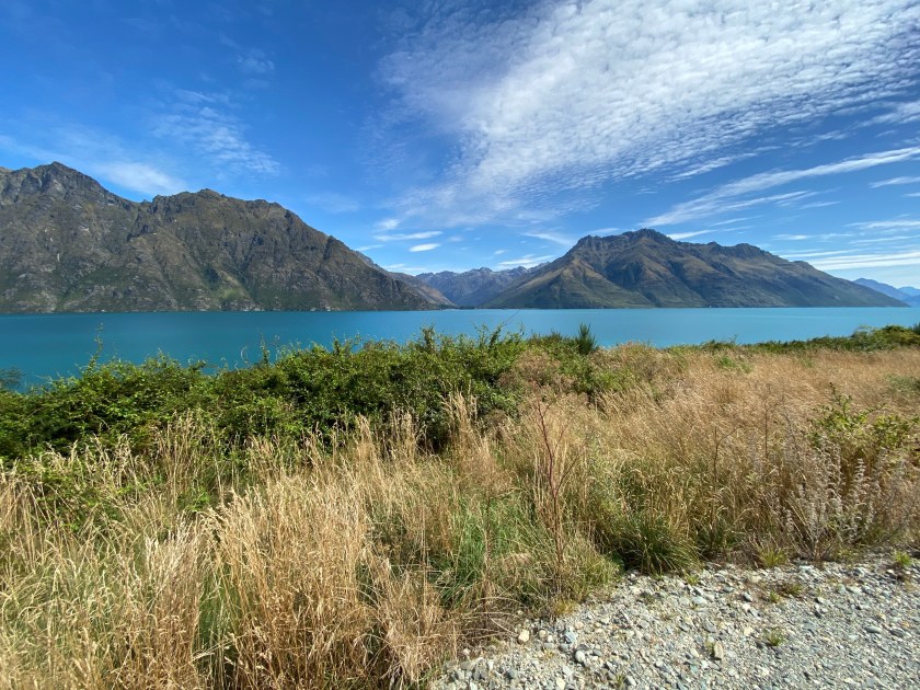
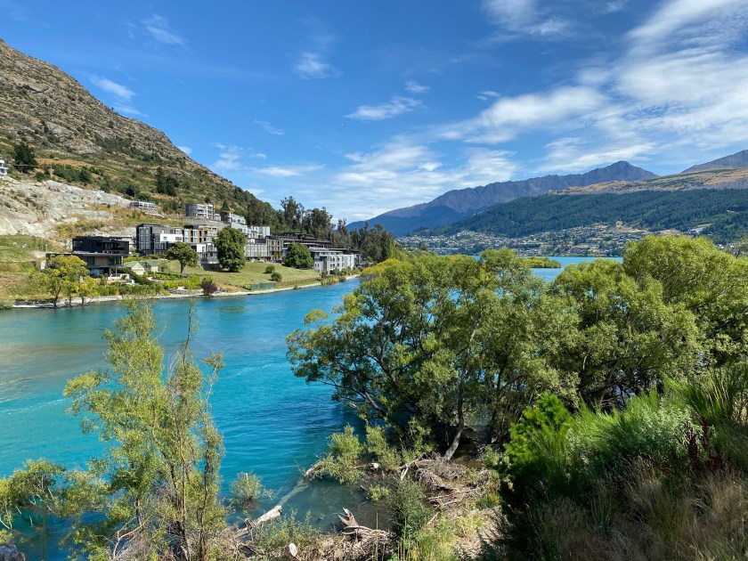
DAY 11. FINAL RUN INTO QUEENSTOWN (67km)

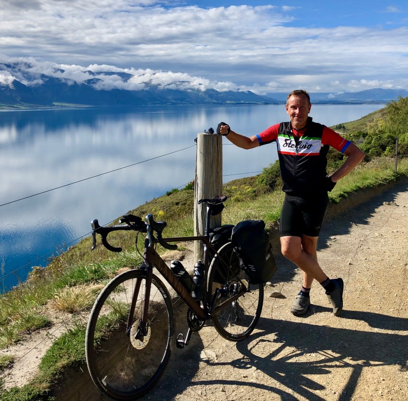
Fortunately we started the day on the final 20km gravel section of Around The Mountain Trail which ends in Kingstown before the final run into Queenstown with spectacular views of the lake on your left side all the way.

Route Map: https://www.strava.com/activities/3115349180

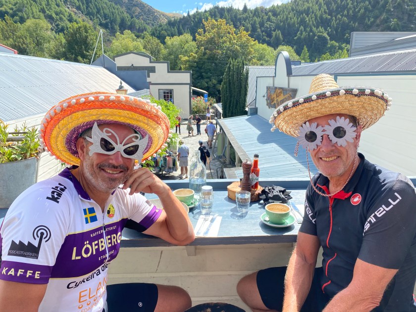
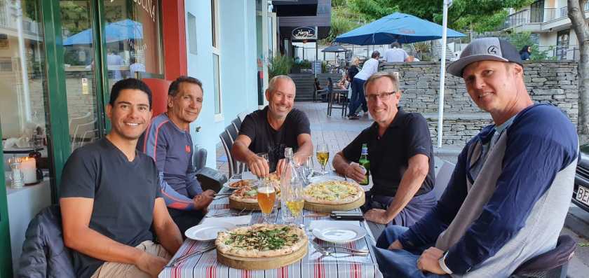
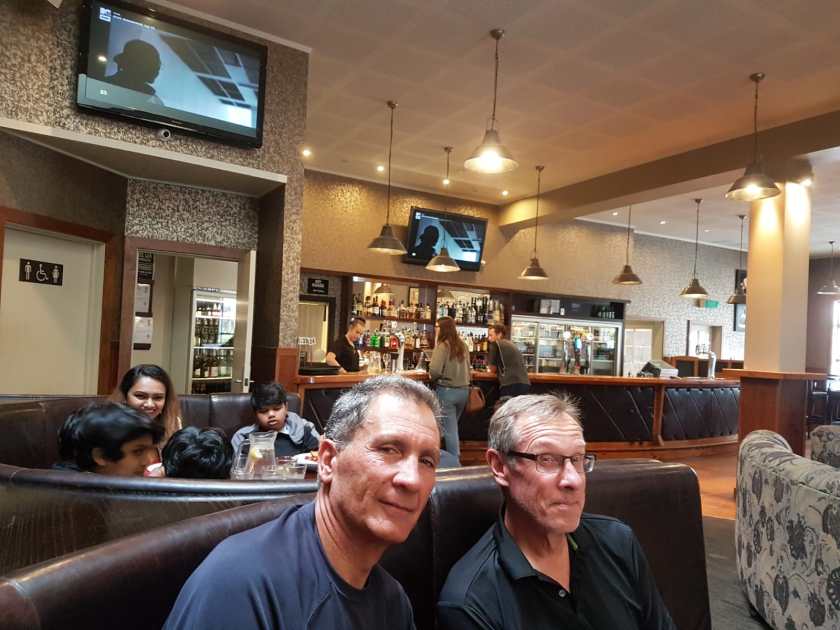
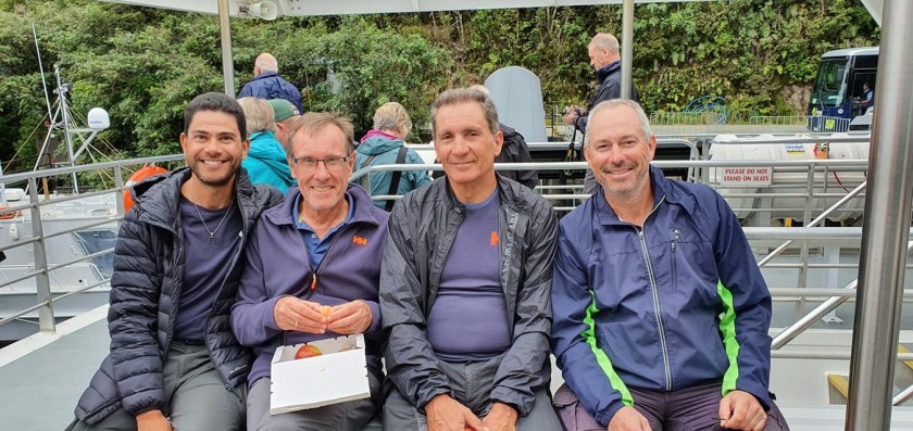
THANKS GUYS FOR A TERRIFIC JOURNEY IN THE MOST PERFECT PART OF THE WORLD

NZ Bikepacking: Queenstown to Christchurch

Day 1 Arriving Queenstown

After settling in to the bustling adventure destination of Queenstown we headed out for a days exploring before heading off on the bike packing epic adventure. Stunning scenery wherever we looked which raised expectations big time of what might be ahead.

The route for our day of Queenstown exploring https://www.strava.com/activities/1986942964

Day 2 Leaving Queenstown for Wanaka 77km @ 1062m

Our first stage took us through Arrowtown which is a great old mining town and a logical spot for the first coffee break before you head up and over The Crown Range. Quite a European climb with great views across the valley toward Arrowtown and beyond. Then a wonderful descent off the range and definitely stop for lunch at the Cardrona Hotel which has an historic bar and outstanding beer garden.

Mistake for the day was we did not realise there was a gravel track to Arrowtown.

Queenstown to Wanaka Route https://www.strava.com/activities/1988739092

Day 3 Wanaka to Haast 142km @ 1220m

After a great dinner in Wanaka with Romans’ friends we set out on our Queens stage which turned out to be the prettiest riding imaginable. 18km’s after leaving Wanaka we had a 35km section that first hugged lake Hawea and then after crossing The Neck we tracked Lake Wanaka and then refuelled at Makaroa. (this is the only spot with food so you must stop!!). Met a wonderful couple of bike packing brits who shared information on there NZ journey which was stored for another day. After refuelling it was a gentle and steady climb up and over Haast Pass cycling through beautiful rainforest, stopping at a couple of waterfalls and cruising with a light rain falling. A brilliant day and then stayed in Haast enjoying our first NZ pub meal.

Wanaka to Haast Route https://www.strava.com/activities/1990468102

Day 4 Haast to Fox Glacier 124km @ 994m

Once again, a very pretty start to the ride for the first half of the ride with snow capped peaks all to our right, had a quick stop at Lake Paringa and then salmon chowder at the salmon farm cafe at the 60km mark. Stop here for lunch before pushing on to the very pretty Fox Glacier.

Haast to Fox Glacier Route https://www.strava.com/activities/1992124082

Day 5 Fox Glacier to Ross 140km @ 1430m

Another very stunning day leaving Fox Glacier for Franz Josef Glacier. Coffee stop at Franz Glacier and a little gravel track to base of the glacier. very green undulating ride with a sensational lunch stop at first cafe as you come into Hari Hari. Terrific owner with delicious food. From here rolled into the old mining town of Ross with its water filled mine opposite one of the oldest pubs in NZ.

Route map to Ross https://www.strava.com/activities/1993622740

Day 6 Ross to Kumara 103km @ 770m

This stage was about 85% gravel on the West Coast Wilderness Trail. Super pretty trail using old rail lines and tracing water races created during the gold mining days 100 years ago. Stopped for water at Cowboy Paradise and chatted to the owner who is developing a stop for cyclists. There is accomodation here if an alternative stop to Kumara is preferred. Awesome views from his new balcony. For us it was off to Kumara for another great pub meal.

Route Map to Kumara https://www.strava.com/activities/1995458357

Day 7 Kumara to Bealey 83km @ 1230m

Today was the day we headed east toward Christchurch over Arthurs Pass. After leaving the Otira Stagecoach Hotel which is a simple lunch stop with a pretty fascinating hotel with all sorts of collectibles and historic photos. Definitely stop here before taking on Arthurs Pass with its challenging kilometre or so of plus 20% pinches in it. After cresting the top we spent the night at the Bealey Hotel. Stop for a night here as it is remote and gorgeous.

Route map Kumara to Bealey https://www.strava.com/activities/1997438249

Day 8 Bealey to Christchurch 135km @ 996m

Our final day leaving Bealey started in rain. This hotel is a must as the location and views are stunning, meals are sensational with their own Aussie pastry chef. Burger is brilliant as is the apple strudel. Leaving Bealey we had a tail wind all the way to Christchurch which was a welcome assist on ur final day of this awesome NZ route.

Route map Bealey to Christchurch https://www.strava.com/activities/1999020182

Wangaratta to Walhalla Victoria

Day 1 Wangaratta to Bright

Head to Wangaratta by train from Melbourne or get a lift from a friend. Stage 1 is an easy 90 km rail trail from Wangaratta to Bright. A very pretty rolling old rail trail that passes through tobacco farms and some interesting old farms with car wrecks.

Route map to Bright

Day 2 Bright to Dargo

This is the Queen Stage of the trip with 115km and 2200m of climbing. Had a good breakfast in Bright (leaving by 8.30am) and morning coffee at Harrietville Bakery before the climb up to Hotham. The turnoff to Dargo is 10km from the Hotham summit and be prepared for a bumpy 4 hour section from the turnoff which includes around 45km of gravel. Last 10km or so is bitumen and a very nice descent into town. Great old pub to have a recovery beer and traditional “parmy” for the night.

Route map to Dargo

Day 3 Dargo to Heyfield

This 120km stage leaves the alpine high country behind as you cycle into the edges of Gippsland. Very pretty rolling hills across the spine area and progressively heading to farmland via some quiet backroad routes. Stay at the very basic 1930’s Heyfield hotel and share a beer with some local stockmen in town for cattle market day. Another “parmy” for dinner…just for comparison.

Route map to Heyfield

Day 4 Heyfield to Walhalla

A short 55km stage from Gippsland farmland to the beautiful restored old gold mine town of Walhalla. This section includes about 50% gravel which has some steep pinches and a few gnarly, rocky sections that need to be taken cautiously. Very little traffic other than some enduro motorcycle riders and the local water truck. A very pretty downhill cruise for the last 10km into Walhalla.

Route map to Walhalla

Day 5 Walhalla Loop

This was the full day and second night spent in Walhalla. Great historic town to explore. Planned a 55km loop via Thomsons dam which is Victorias largest dam. Worst 25 km is a very quiet gravel road which is a 4wd track only. Slow going but very pretty section before finding the dam.

Back to Melbourne from here the following day with help from  friends and a car. If not available then cycle toward Gippsland and catch the train!

Walhalla Loop

 
Continue reading “Wangaratta to Walhalla Victoria”